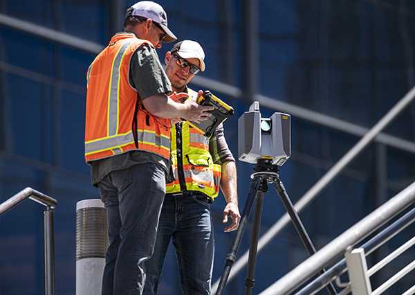
Aligning bricks and models
February 23, 2023
An all-of-the-above approach lead to the novel design of a rover system
that can serve a wide variety of field surveying and mapping applications.
Read More

An all-of-the-above approach lead to the novel design of a rover system
that can serve a wide variety of field surveying and mapping applications.

The addition of scanning capabilities to robotic total stations enables surveyors to operate two instruments simultaneously, with the same field data collector and software.

Trimble has introduced the Trimble X12 scanning system to the geospatial scanning portfolio. The X12 integrates intuitive Trimble […]
Follow Us