February 20, 2025
By Jesse Khalil
August 6, 2024
May 13, 2024
March 8, 2022
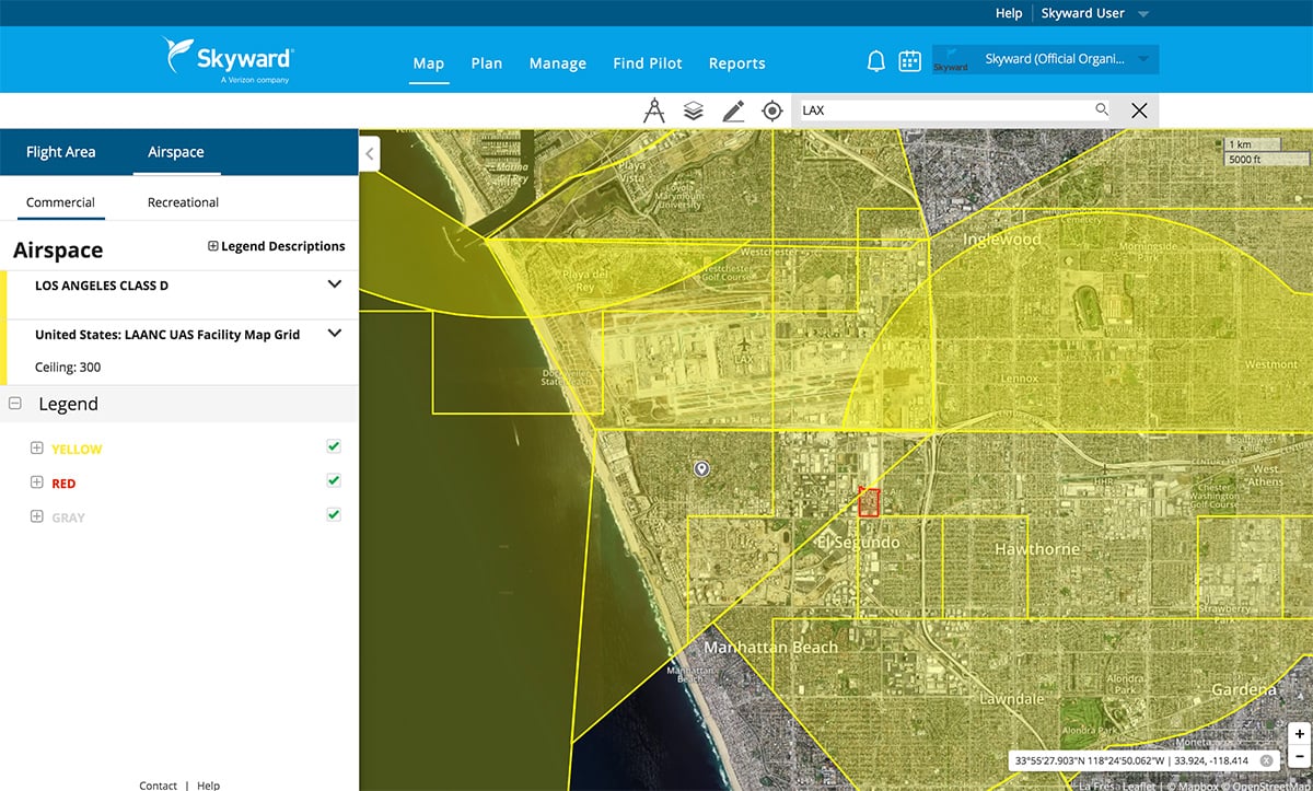
By GPS World Staff
June 25, 2021
By Tracy Cozzens
May 19, 2021
June 4, 2019
April 3, 2018
October 14, 2017
July 25, 2016
September 23, 2015
By Joelle Harms
June 1, 2015
May-June 2026
March-April 2026
January-February 2026
October 2025
September 2025
June 2025
May 2025
April 2025
March 2025
February 2025