No audio available for this content.
Big Changes from a Tiny Tracker
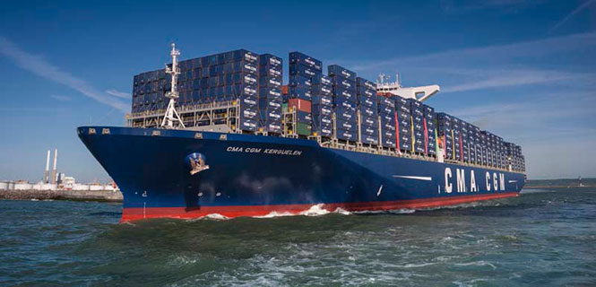
The container shipping industry uses between 20–25 million containers, only a small number of which are tracked. A company called Traxens is on the verge of changing that.
In July, the Switzerland-based Mediterranean Shipping Company (MSC) joined worldwide container shipping company CMA CGM to invest in the French start-up. Under the deal, both CMA CGM and MSC will be represented on the board of directors of Traxens.

CMA CGM and MSC transport about 25 percent of the world’s shipping containers.
Established in 2012, Traxens has been developing solutions for the cargo logistics sector and has created a new multi-modal container monitoring and coordination system to provide real data for logistics.
By the last quarter of 2016, CMA CGM and MSC will have installed Traxens devices across their fleets.
“We see container monitoring as an important innovation in providing our customers with a high quality of service, while also being able to monitor our outputs accurately,” said MSC CEO Diego Aponte. “We believe that shipping lines should naturally compete on service, but should cooperate in the area of technology and innovation.”
“This should be the start of deployment on a massive scale,” said Tim Baker, Traxens director of marketing and communications.
CMA CGM, which has been backing Traxens since 2012, said that the investment is a part of its global digital strategy. Its 536 vessels call on more than 420 world ports. MSC operates an integrated network of road, rail and sea on more than 200 trade routes.
Each Traxens device has GPS on board, but other methods can be used to save battery life, which affects the overall cost of ownership of the solution. “For instance, once we have determined that a container is on board a ship, we can use the AIS ship-positioning data rather than the GPS on the device — especially as the device may be under deck with no view of the sky,” Baker said.
Also to save power, critical decisions on location are made by the devices locally rather than transmitting position up to the cloud and making decisions there. “It is much less power hungry to evaluate GPS position on the device, compare location with expected location, and then decide whether the information is worth transmitting than to send each position to the cloud just in case it happens to be interesting,” Baker explained.


