No audio available for this content.
NovAtel’s Waypoint Products Group has released version 8.80 of its GNSS and GNSS+INS post-processing software products, including Inertial Explorer, Inertial Explorer Xpress, GrafNav and GrafNet. All Waypoint customers with an active subscription that are within the support period qualify for the Waypoint 8.80 upgrade at no additional charge.
Key features of the 8.80 release include:
- High-rate precise satellite orbit and clock corrections available in minutes with the TerraStar-NRT option
- Increased accuracy for pedestrian and vehicle applications by applying vehicle constraints using our SPAN intelligent vehicle dynamics modelling
- Ability to use L5, E5a, B3 in differential solutions
- 14 percent faster processing with 64-bit support
For applications requiring highly accurate post-mission position, velocity or attitude, post-processing maximizes the accuracy of the solution by processing previously stored GNSS and inertial measurement unit (IMU) data forward and reverse in time, and combining the results. The position, velocity and attitude solution can be smoothed and output at the required data rate and in the coordinate frame required. This process also provides the ability to assess the solution reliability and accuracy.
The GrafNav and Inertial Explorer software packages are available as a digitally secured machine-portable license. The products are also available as a perpetual license or as a time-limited term license. A Software Development Kit (SDK) is available to allow developers to customize the entire processing workflow to suit their customers or application.
The Waypoint process:
Step 1: Capture raw GNSS and IMU data.
Step 2: Waypoint post-processing software maximizes the accuracy of the solution by independently processing data forward and reverse in time and combining the results.
Step 3: The position, velocity and attitude solution is smoothed to deliver an unparalleled level of accuracy. In-depth quality analysis tools verify the quality of the trajectory.
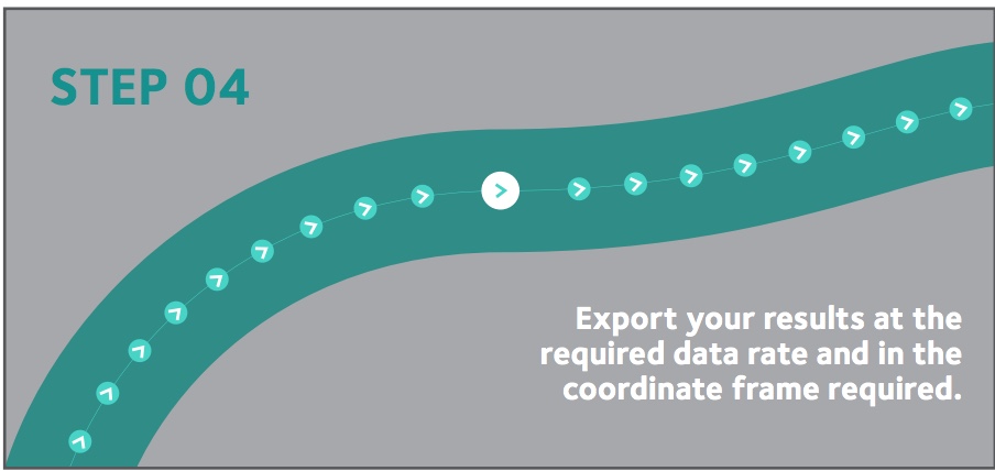
Step 4: Export your results at the required data rate and in the coordinate frame required.


