No audio available for this content.
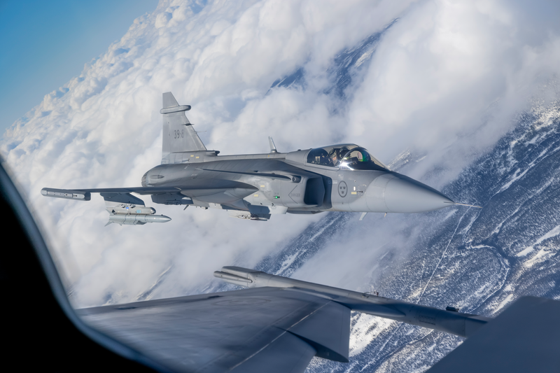
Saab, the Swedish defense and security company, and Maxar recently demonstrated a solution to GNSS-denied navigation by integrating Maxar’s 3D Data and Precision 3D Registration (P3DR) technology into the fighter jet software for the Swedish Gripen E fighter jet.
Saab develops and manufactures the fighter jet for Sweden and other countries.
A camera on the jet captures a livestream of its flight path. Maxar’s P3DR compares that incoming livestream to the Maxar 3D Surface Model of the area stored on the jet. By matching scenes in the livestream to the 3D data in real time, P3DR can determine the jet’s precise location, enabling the pilot to navigate and carry out the mission without GPS.
Maxar 3D Surface Model, immersive 3D data with superior accuracy and global coverage, offers a highly accurate representation of Earth. The data is produced with unique automated technology, delivered rapidly and with high precision. It is based on Maxar’s high-resolution, unclassified commercial satellite imagery, without the need for ground control points. Maxar’s 3D Surface Model product is a key input to the company’s Globe in 3D, a worldwide foundation of 3D data with resolution of 50 cm or better and 3 m accuracy in all dimensions.
The chart across the top of the video indicates the accuracy of the P3DR matching of the livestream video to the Maxar 3D Surface Model. When the camera encounters clouds, it lowers the accuracy of P3DR’s match; however, as long as there is some view of the ground, the accuracy is relatively high.
Maxar’s P3DR is a standalone software solution that automatically geo-registers imagery from any source to Maxar 3D reference data. This real-time capability enables navigation in a GPS-denied environment, safeguarding against signal jammers in an anti-access area denial (A2AD) environment.
Saab put the GPS-denied navigation technique to the test with a Gripen flight demonstration over Sweden. The GIF below demonstrates how P3DR closely overlays the livestream image on the Maxar 3D Surface Model, allowing the pilot to understand where they are on the map.
During the flight demonstration, the Gripen’s GPS receiver was on to monitor the accuracy of the results. The GPS receiver verified that the demonstration’s results were accurate.