No audio available for this content.
News from the European Space Agency
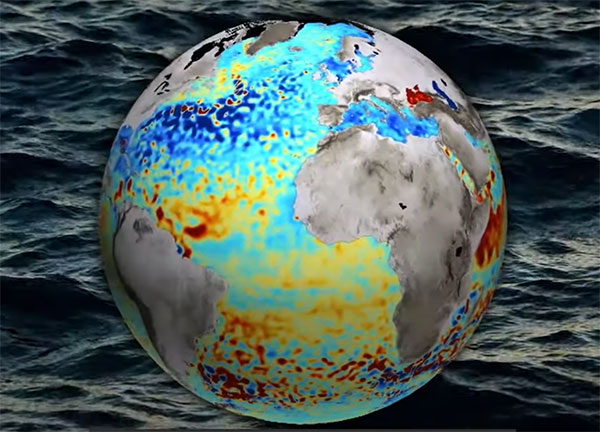
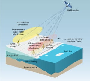
Monitoring the constantly changing shape of the sea surface is important for scientific and societal applications such as ocean current forecasting, climate research, ship routing, cable laying and debris tracking.
A project supported by the Discovery element of ESA’s Basic Activities recently investigated a technique to precisely measure sea-surface topography. The project was based on an idea submitted by the Institute for Space Studies of Catalonia (IEEC) through the Open Space Innovation Platform (OSIP) — ESA’s place for your space ideas.
The technique involves GNSS reflectometry — signals that have been reflected off of the sea surface at very low angles. At these “grazing” angles, waves and surface roughness have little impact on the reflection process; the sea surface acts as a very smooth mirror.
“In a mirror-like reflection the phase of the signal can be tracked — it is continuous,” explained IEEC’s Estel Cardellach, principal investigator and submitter of the OSIP idea. “Different surface heights result in different phase measurements. It gives a very precise measurement of the surface altitude at a few centimetres’ precision.”
Balearic Islands Project
The ESA-funded activity involved developing a GNSS receiver and setting up an experiment in the Balearic Islands to collect GNSS signals reflected off the sea surface. The team — made up of IEEC, imedea, SOCIB and DLR — then processed the signals for optimized measurements of the shape of the sea surface.
“Thanks to OSIP and ESA Discovery we have been able to conduct this experiment on grazing GNSS reflectometry under monitored conditions,” said Manuel Martin-Neira, ESA technical officer for the project. “We have linked the coherence of the reflected signals to wave height and the elevation angle of GNSS satellites. These results have been very useful for preparing the PRETTY mission.”
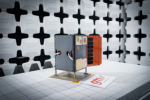
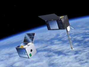
ESA’s PRETTY (Passive REflecTomeTry and dosimetry) CubeSat mission is a small satellite that will carry out grazing angle GNSS altimetry from orbit. It is due to launch later this year.