No audio available for this content.
Automated steering systems have been widely deployed in advanced industrial countries and on large farms to improve agricultural productivity. However, technological and price barriers have constrained their wider adoption. Reliable RTK positioning and the expected accuracy of automated steering systems enable farmers to optimize their work efforts while reducing input costs and fuel consumption.
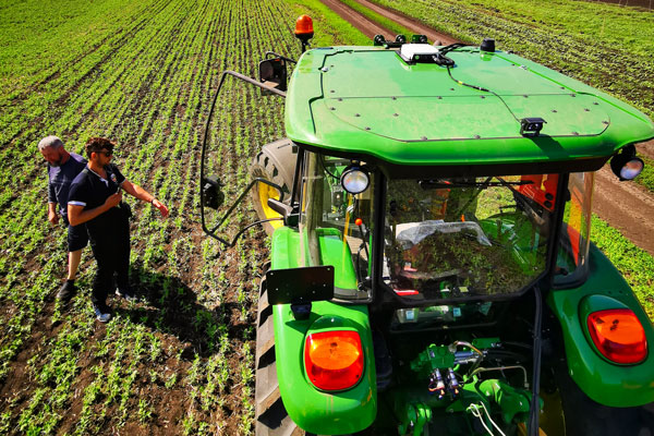
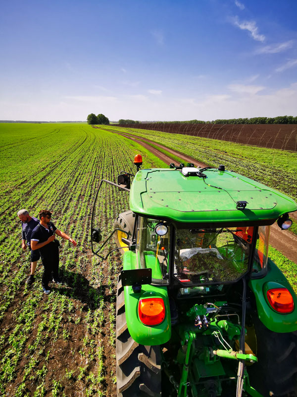
CHCNAV customer Niva LLC in Voronezh, Russia, was particularly interested in acquiring an automated steering system able to provide consistent high accuracy, even in scattered fields over long distances and with unstable coverage for GSM (the Global System for Mobile communication, a cell phone standard used in most of the world). Some systems Niva tested would lose GNSS RTK network correction signal reception while working in difficult terrain with gullies. A dual GNSS RTK correction source was therefore a key technical feature to ensure uninterrupted auto-steering operation in all terrain configurations.
The CHCNAV NX510 SE’s built-in connectivity modules include a 4G modem and an additional UHF radio module to allow farmers to work with RTK correction sources from local RTK networks or GNSS RTK base stations for no additional cost. As a result, the NX510 SE can receive GNSS RTK corrections from various GNSS network operators as well as from a local radio modem input to compensate for possible poor GSM coverage. The system’s combined GNSS+INS terrain-compensation technology ensures automated steering accuracy of 2.5 centimeters and offers excellent performance in ditching, seeding and harvesting applications.
Niva also wanted an auto-steering system that could be quickly and easily mounted on a variety of tractors and other farm vehicles at a price that would allow for rapid return on investment. The NX510 SE can be moved from one tractor to another in less than 40 minutes, as farming operations change. The software’s user interface for controlling field operations is designed for both experienced and casual users to allow even greater flexibility.


