Boundless partners with Planet to expand image access
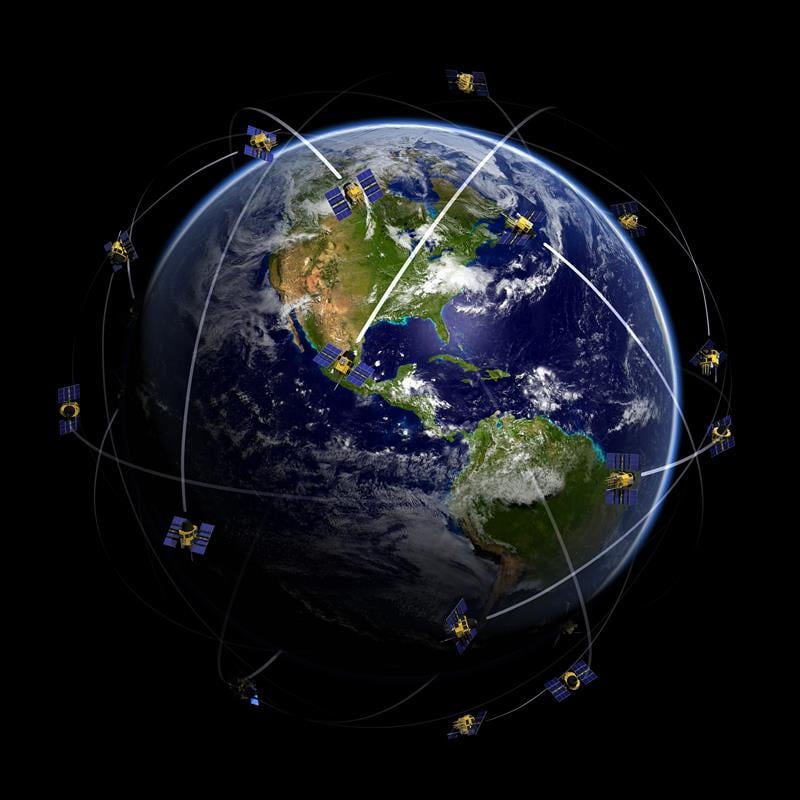
Boundless, an open GIS company, has announced a strategic partnership with Planet, the integrated aerospace and data-analytics company that operates history’s largest fleet of Earth-imaging satellites. The partnership enables Boundless customers to access the massive library of high-quality Planet imagery and fast-loading imagery basemaps within Boundless Connect.
Starting today, Boundless Desktop users can access this content through the Boundless Connect plugin. Planet content is also accessible through Boundless Suite and Exchange subscriptions.
“This partnership significantly advances the content available through Boundless Connect, and expands our ability to provide high-quality imagery to Boundless users,” said Anthony Calamito, vice president of product for Boundless. “This represents a major step forward in providing our growing user base with valuable insights through Planet’s content. We are excited about this partnership and all the capabilities that will be delivered to our users, now and in the future.”
The partnership with Planet will provide access to:
- Basemaps – Automated basemaps optimized for clear seasonal coverage, completeness and visual quality, perfect for map backdrops. In addition, quarterly or monthly timelapse basemaps gives users access to the latest imagery.
- Image Tiles from PlanetScope – 4-band (RGB and NIR) imagery for visual or analytic use.
- Image Tiles from RapidEye – 5-band (RGB, NIR, and Red Edge) imagery for visual and analytic use.
“This partnership is a huge step forward in delivering the most extensive and up-to-date satellite imagery catalog and basemaps to the broader geospatial community,” said Alex Bakir, vice president of product marketing for Planet. “Boundless’ open, flexible platform pairs perfectly with Planet’s data and platform services, and gives Boundless users the tools and content needed to integrate seamlessly into their workflows. We are very excited to be working with Boundless and look forward to what is to come.”
Boundless offers an open GIS ecosystem through a combination of technology, products and experts that gives enterprises deeper intelligence and insights using location-based data.
The Boundless platform is built upon open source technology and open APIs that generate actionable location intelligence across third-party apps, content services and plugins for enterprise applications.
In November 2016, the company extended its proven GIS platform with Boundless Connect, a subscription service to the most comprehensive repository of GIS resources, and Boundless Desktop, a full-featured, professional desktop GIS, bringing a powerful ecosystem of geospatial knowledge, tools and resources to the enterprise.


Follow Us