No audio available for this content.
The portable drone has an RTK module for centimeter-level precision and a 56× zoom camera
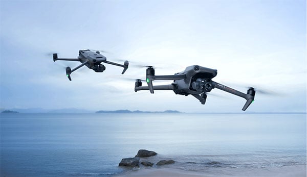
DJI has launched its Mavic 3 Enterprise Series, designed for business, government, education and public safety.
The DJI Mavic 3E and DJI Mavic 3T are compact drones designed to provide professional users with safe and efficient aerial technology. Both drones are based on DJI’s flagship Mavic 3 series and have been designed to operate in a vast array of commercial missions.
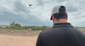
Portable and compact, the drones can be carried in one hand and deployed at a moment’s notice. Flight time is 45 minutes.
Surveying tools. Both models have a real-time kinematic (RTK) module that enables surveying professionals to achieve centimeter-level accuracy with support for network RTK, custom network RTK services, and the D-RTK 2 Mobile Station.
The D-RTK 2 Mobile Station is DJI’s upgraded high-precision GNSS receiver that supports all major global satellite navigation systems, providing real-time differential corrections.
Safety Features. The Mavic 3 Enterprise series has improved obstacle sensing and navigation systems, including DJI AirSense, which receives ADS-B signals from traditional aircraft in the area to warn drone pilots of other air traffic nearby. The new improved DJI APAS system 5.0 for obstacle sensing with zero blind spots is supported by six omnidirectional fish-eye sensors.
Cameras equipped. It integrates a 20-MP wide-angle camera with a 4/3 CMOS sensor with large 3.3 μm pixels that, together with Intelligent Low-Light Mode, offer significantly improved performance in dim conditions. Its powerful up-to-56x hybrid zoom camera has an equivalent focal length of 162mm for 12MP images. A mechanical shutter prevents motion blur and supports rapid 0.7-second interval shooting.
The DJI Mavic 3E enables efficient mapping and surveying missions without the need for ground control points. Other fields that could use the drone include environmental and wildlife protection, construction, surveying, energy and public safety.
The DJI Mavic 3T is engineered for aerial operations in firefighting, search and rescue, inspections and night missions. It has the same tele camera as Mavic 3E, a 48 MP camera with a 1/2” CMOS sensor, and a thermal camera with a Display Field of View (DFOV) of 61° and an equivalent focal length of 40mm with 640 × 512 px resolution.
The Mavic 3T’s thermal camera supports point and area temperature measurement, high temperature alerts, color palettes, and isotherms to help professionals find hot spots and make quick decisions. With a simultaneous split-screen zoom, the Mavic 3T’s thermal and zoom cameras support 28× continuous side-by-side digital zoom for easy comparisons.
Image transmission. With a maximum control range of 15 km, DJI O3 Enterprise Transmission enables the Mavic 3 Enterprise drones to fly further and transmit signals with higher stability, offering pilots greater peace of mind during flight. It provides a high frame rate live feed at 1080p/30 fps.