Listen to this content
Watch the skies
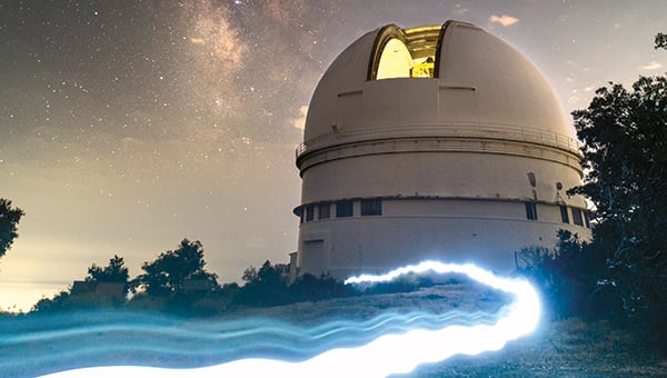
The u-blox ZED-F9T high-precision GNSS receiver is enabling sub-nanosecond synchronization in an advanced telescope array used in optical Search for Extraterrestrial Intelligence (SETI) research. PANOSETI (Pulsed All-sky Near-infrared Optical SETI), a multi-institutional scientific initiative, requires precise time synchronization across distributed telescope arrays. PANOSETI can detect fast-transient optical and near-infrared signals across the entire observable sky. Using a GNSS-based differential timing with the u-blox receiver, the team demonstrated ~0.7 ns standard deviation between 1PPS signals over a 1 km baseline and improved performance down to ~200 ps using filtering techniques
GNSS data help forecast weather

Finnish company Skyfora aims to transform GNSS telecom infrastructure into a real-time atmospheric sensing network. Skyfora combines atmospheric physics, advanced signal processing and artificial intelligence to extract weather intelligence from GNSS data. Skyfora can create detailed 3D maps of atmospheric moisture — a critical input for weather forecasting. GNSS meteorology turns every GNSS receiver into a weather sensor. The more receivers in an area, the higher the resolution of atmospheric data achievable.
GNSS unlocks water-level data
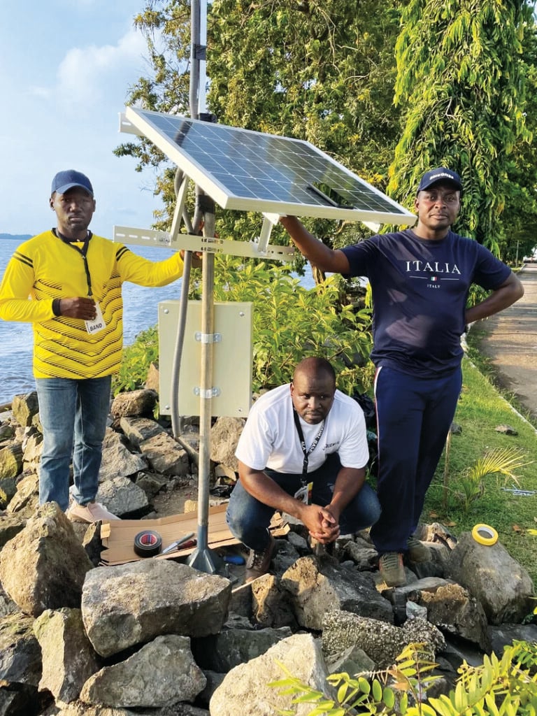
Using a low-cost sensor and GNSS interferometric reflectometry (GNSS-IR), researchers at the University of Bonn are enabling continuous, centimeter-level water monitoring in data-poor regions worldwide. After successful testing on the Rhine River, the European Space Agency-backed technology was deployed across Africa and the Asia-Pacific. At its core is the Raspberry Pi Reflector, a compact, solar-powered sensor that measures inland and coastal water levels at a much lower cost compared to traditional gauge stations.
Modeling glaciers before they’re gone
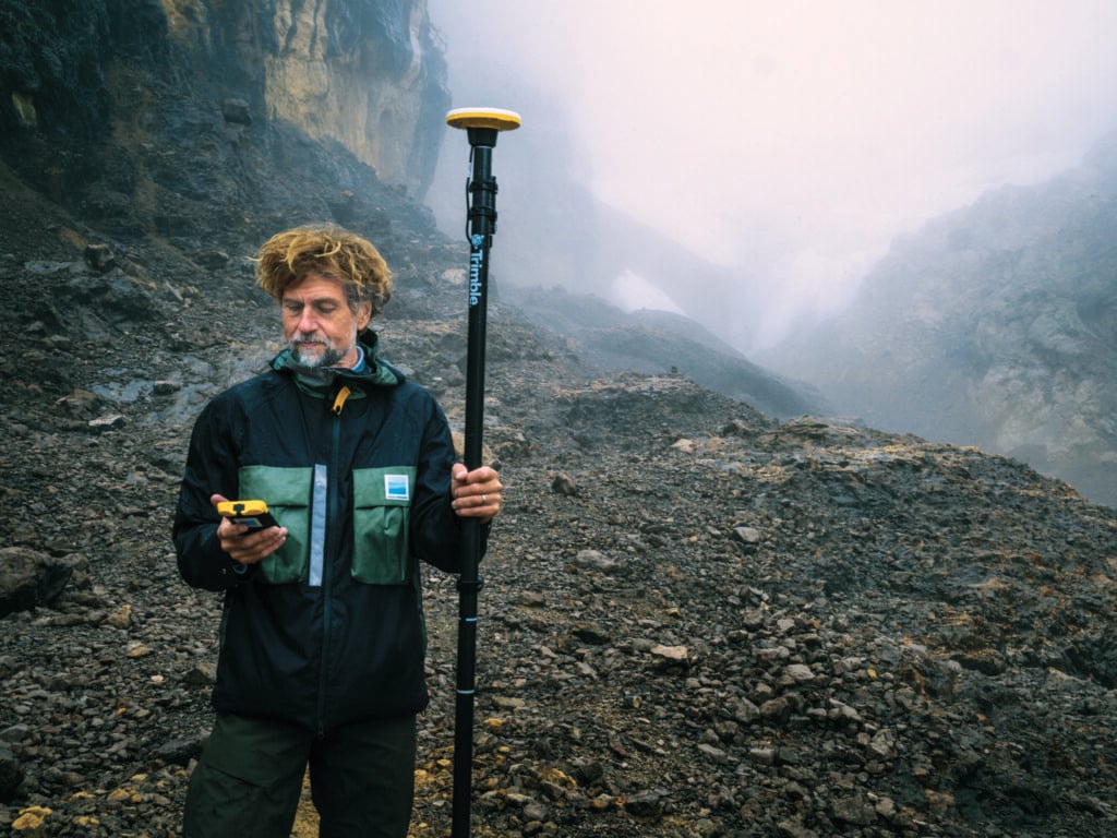
The non-profit Project Pressure aims to document vanishing and receding glaciers. This season, Trimble provided both technology and funding to map the glaciers of Puncak Jaya in Papua, Indonesia. Using the Trimble Catalyst DA2 GNSS system and TDC600 handheld, researchers captured exact coordinates of the points with centimeter-level accuracy. Drone imagery was processed against the coordinates to produce a centimeter-accurate 3D model of the receding glacier, establishing a baseline for calculating the rate of ice recession and projecting the timeline of disappearance.