Listen to this content
“Seen & Heard” is a bi-monthly feature of GPS World magazine, traveling the world to capture interesting and unusual news stories involving the GNSS/PNT industry.
Searching for Lost Souls
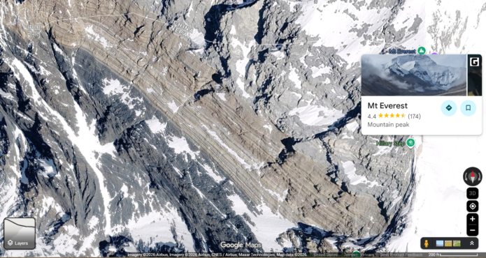
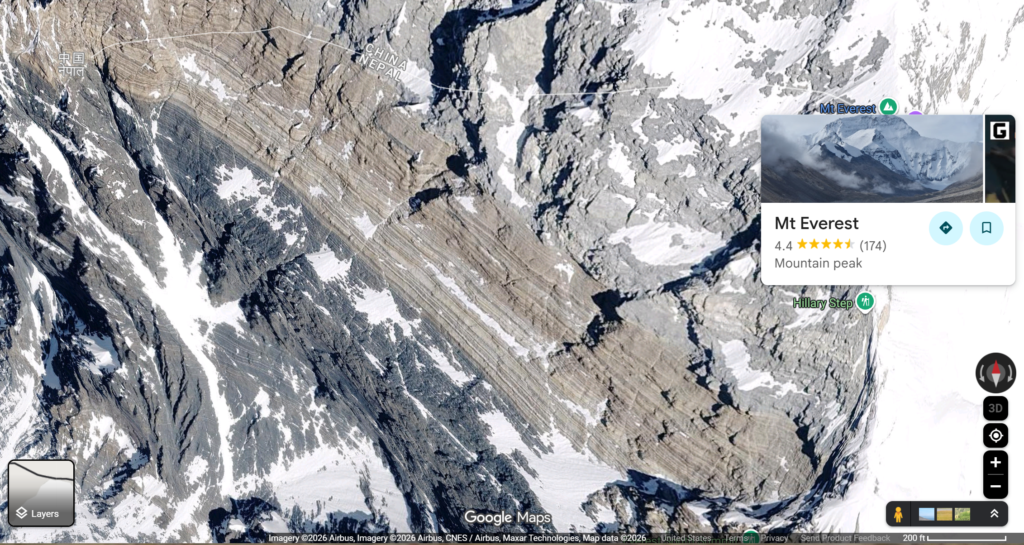
Amateur researchers on Reddit are using Google Maps to look for deceased climbers. In a post titled “Google Maps Discovery” on the r/Everest subreddit, users are discussing a particular photo that seems to show something red amidst snow-dusted granite rocks. Some believe it’s a color artifact, some think it might be a tent, while others have been inspired to conduct their own pixel-by-pixel searches. In all, Everest has claimed almost 350 climbers’ lives, with most bodies left on the slopes because of the difficulty of retrieval. That, however, is changing with melting glaciers revealing bodies. The Nepalese government recovered four in 2019 and five in 2024. It also cleaned up trash left behind.
Baby Elephant Walk
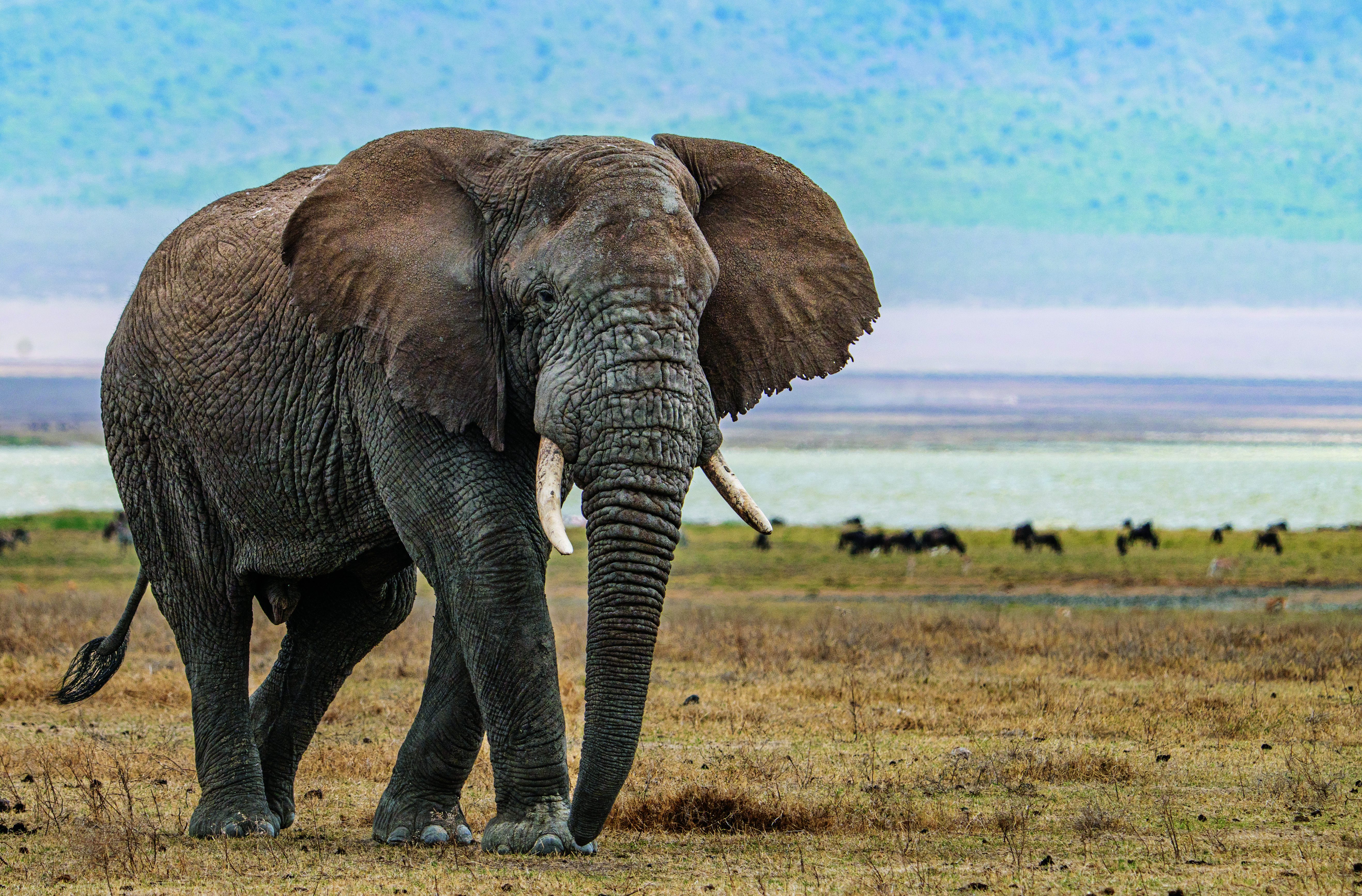
A young bull elephant in southern Africa spent the past two years walking, showing researchers preferred ancient wildlife corridors. Fitted with a GPS collar north of Sioma Ngwezi National Park in Zambia in June 2023, the animal (dubbed Z16) walked 12,000 km, crossing four countries and six national parks. In southern Africa, as elephant populations grow, human-elephant conflict has increased. Keeping the wildlife corridors open will enable both solitary bull elephants and female-headed herds to move across borders without conflict with humans.
Japan, Watch Out Stalkers
Japan is considering requiring “high risk” stalkers to wear GPS tracking devices, preventing offenders from approaching victims, according to The Japan Times. Under the new system, offenders judged to pose a serious threat could be fitted with electronic tracking devices, while victims would receive an alert when an offender came near. But key details remain unclear, such as who is “high risk,” how long devices would be worn, and whether police would have access to real-time location data. The discussion follows the March murder of a young woman by an ex-boyfriend despite a restraining order against him.

China Maps Ocean for Military Use
Dozens of Chinese research vessels are mapping the sea floor at strategically vital regions of the world’s oceans, reports Reuters. While some surveying targets mineral deposits and fishing grounds, the data also give Beijing a detailed picture of the maritime environment in which submarine battles will be waged if conflict erupts. China is conducting a vast undersea mapping and monitoring operation across the Pacific, Indian and Arctic oceans, building detailed knowledge of marine conditions that naval experts say would be crucial for waging submarine warfare against the United States and its allies.