Listen to this content
Topcon Positioning Systems attended GEO Business in London this month to showcase its latest solutions to improve survey and geospatial workflows.
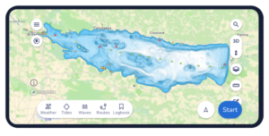
The event, which took place at Excel London June 4-5, showcased hardware, software and workflow technologies across capture reality, surveying solutions, engineering surveys, and GIS mapping and utilities, including the company’s new suite of 3D scanning solutions. The scanning solutions offer integrated software that enables high-speed data capture and immediate analysis for a wide array of geomatics applications.
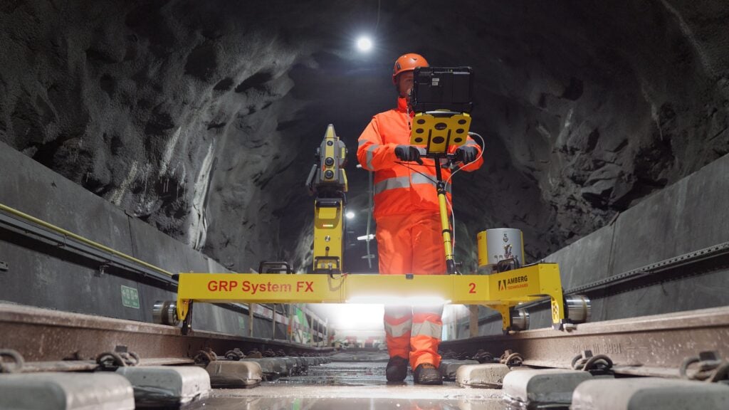
“Smarter workflows for rail survey data”: Bruno Fileno, senior segment manager geomatics, gave an in-depth look at integration efforts between Topcon and Amberg Technologies that focus on how interoperable workflows streamline surveying tasks such as track alignment, geometry verification, and clearance assessment.
“Control, confidence, custody: How surveyors defend georeferenced SLAM workflows”: Phil Marsh, director of scanning sales EMEA, shared a practical framework for delivering georeferenced SLAM results, with tips on combining RTK with survey control and independent checkpoints, and building a lightweight QA pack to prove accuracy – producing outputs surveyors can get behind and clients can sign off.
“From ground to cloud: Transforming utilities with accessible digital workflows”: Nathan Ward, business development manager, utilities solutions EMEA, explored the newest innovations in utilities mapping, explaining how seamless data capture with the Topcon CR-H1 handheld device and automated cloud processing can deliver date-stamped records that cut delays, reduce rework, and speed up sign-off and payment.