No audio available for this content.
Westfield Technology Group, a British vehicle manufacturer, and Ordnance Survey have signed a Memorandum of Understanding (MoU) to support autonomous vehicle development.
The MoU will support a wider range of autonomous vehicle operations by improving access to detailed and accurate mapping.
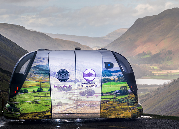
Previous collaborations between Westfield Technology Group and Ordnance Survey include jointly collaborating with Emirates Airlines in Dubai and mapping potential autonomous vehicle routes in the Lake District for the Innovate U.K.-funded Project LAVIS.
Recognizing the mutual benefits of collaborating on domestic and international activities, the organizations will continue developing and advancing autonomous vehicle capability. By utilizing 3D high-definition mapping capability, this partnership will add significant value the autonomous vehicle industry, the companies said.
“We’re very excited about strengthening our working relationship with Ordnance Survey,” said Julian Turner, CEO at Westfield Technology Group. “This MoU will allow us to further advance and improve our autonomous vehicle operations, particularly in areas which desperately need access to sustainable, reliable and flexible transport.”
“This MoU further cements our relationship with Westfield Technology Group,” said Andy Wilson, region director for Europe and Africa at Ordnance Survey. “We’re excited about collaborating on this important project, which is another example of how accurate, up-to-date geospatial data and mapping is key to the success of new and emerging technologies.”