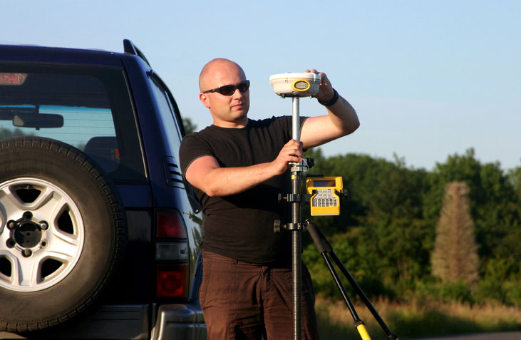
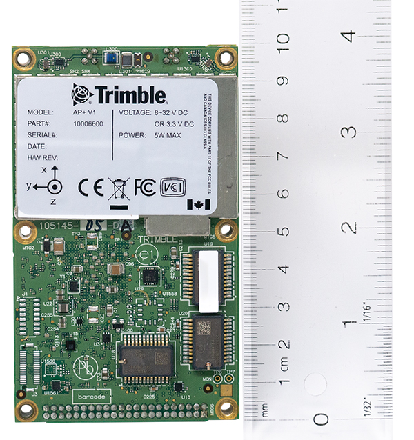
TAG: UAVs

Photo: lukaszfus/iStock/Getty Images Plus/Getty Images

Surveyors, not the tools, define the profession

May 5, 2021

Smart infrastructure depends on GIS

April 14, 2021

Photo: FLY-R

Launchpad: High-speed UAV, GNSS dev kit

February 9, 2021

Photo: Applanix

Applanix introduces OEM solution for direct georeferencing of airborne sensor data

September 2, 2020

Image: 4X-image iStock / Getty Images Plus / Getty Images

Verizon to deploy RTK stations for ‘hyper-precise’ location info

August 14, 2020

ARPAS-UK logo

ARPAS-UK coordinates COVID-19 drone capability task force

March 30, 2020

This article is tagged with , , , and posted in COVID-19, Latest News, UAV/UGV
The Draganflyer Commander UAV is a remotely operated miniature helicopter designed to carry wireless camera systems. (Photo: Draganfly)

Pandemic drones to monitor, detect those with COVID-19

March 26, 2020

Photo: FlytBase

FlytBase launches FlytGCS for BVLOS drone operations

April 26, 2019