No audio available for this content.
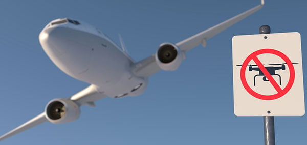
New risk-based “bow-tie” zones will help protect aircraft using PrecisionHawk’s Low Altitude Traffic and Airspace Safety (LATAS) platform.
DJI is improving its geofencing technology to refine the airspace limitations for drone flights near airports, providing smarter protection for airplanes in critical areas.
DJI has updated Geospatial Environment Online (GEO) Version 2.0, and will phase it in starting in November when the revised zones will take effect for airspace around airports in the United States. Upgrades in other regions will follow.

The new system allows GEO to create detailed three-dimensional “bow-tie” safety zones surrounding runway flight paths, and to use complex polygon shapes around other sensitive facilities, rather than simple circles.
The new restrictions better reflect the actual safety risk posed in those areas, while allowing more flights to the side of runways where risk is substantially lower.
Runway exclusion zones. DJI’s new geofencing also incorporates the principles of Section 384 of the recently enacted U.S. Federal Aviation Administration (FAA) Reauthorization Act designating the final approach corridor to active runways at major airports to be “runway exclusion zones” for unauthorized drones. DJI customers should update their DJI GO 4 flight control app and aircraft firmware to ensure these improvements are implemented.
To obtain reliable geospatial information for the enhanced shapes in GEO 2.0, DJI has chosen a new data provider that can provide highly accurate details such as the exact locations of airport runways and facility boundaries.
PrecisionHawk’s LATAS. In North America, DJI will use data from PrecisionHawk Inc., replacing DJI’s previous geospatial data provider AirMap. Under a partnership agreement, PrecisionHawk’s Low Altitude Traffic and Airspace Safety (LATAS) platform will provide DJI customers with critical airspace information that will position them to fly safely in North America.
DJI will be able to refine airspace limitations for drone flights near airports, providing smarter protection for drones in critical areas and clarifying restrictions, PrecisionHawk said.
“PrecisionHawk has a corporate commitment to safely integrating drones into the airspace and enabling complex operations,” said Diana Cooper, senior vice president of policy and strategy at PrecisionHawk. “Through our work under the FAA Pathfinder Program, we have shown how technology can play a critical role in unlocking advanced operations, including beyond visual line of sight flight.”
GEO 2.0 Development. DJI first created No-Fly Zones for its drones in 2013 and introduced the more refined GEO system three years later, adding live updates and new zones for prisons and nuclear power plants, while providing flexible self-unlocking for professionals.
Both systems recognized that the overwhelming majority of drone pilots want to fly safely and responsibly, and want an easy-to-use guide to help them understand the airspace so they can do so.
To develop GEO 2.0, DJI collaborated with general aviation pilots through the Aircraft Owners and Pilots Association (AOPA) and with airports through the American Association of Airport Executives (AAAE) to incorporate their expertise and guidance about air traffic and airports into DJI’s new geofencing methods.
DJI geofencing uses GPS and other navigational satellite signals to automatically help prevent drones from flying near sensitive locations such as airports, prisons, nuclear power plants and high-profile events.
In certain locations, a DJI drone cannot take off or fly in a geofenced area without special authorization. Drone pilots with verified DJI accounts can unlock some areas if they have legitimate reasons and necessary approvals, but the most critical areas require special action from DJI to unlock them.
DJI has streamlined the approval process so professional drone pilots with authorization to fly in sensitive locations can receive unlocking codes within 30 minutes.
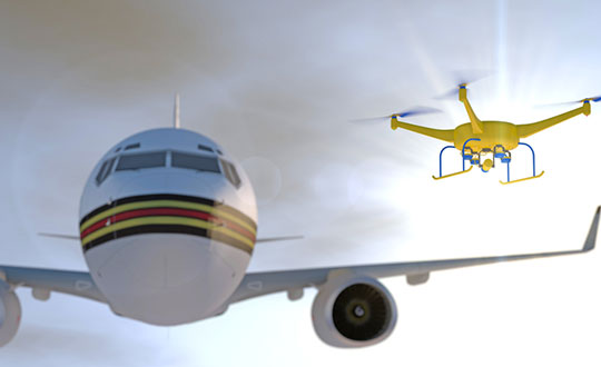
The GEO System. The GEO system previously geofenced a 5-mile circle around airports, with enhanced restrictions in a smaller circle encompassing the airport area.
GEO 2.0 applies the strongest restrictions to a 1.2 kilometer- (3/4 mile)-wide rectangle around each runway and the flight paths at either end, where airplanes actually ascend and descend. Less strict restrictions apply to an oval area within 6 kilometers (3.7 miles) of each runway.
This bow-tie shape opens more areas on the sides of runways to beneficial drone uses, as well as low-altitude areas more than 3 kilometers (1.9 miles) from the end of a runway, while increasing protection in the locations where traditional aircraft actually fly.
Aviation Parameters. DJI’s new boundary areas around airport runways are based on the International Civil Aviation Organization’s Annex 14 standard for airspace safety near runways and the FAA’s Part 77 parameters for “imaginary surfaces” and air navigation obstructions.
DJI’s categorization of airports is based on traffic volume principles defined in statutes such as U.S. Title 49 section 47102, and the FAA’s criteria developed in 2012 for categorizing general aviation airports.
Using these aviation parameters, DJI has aligned its geofencing safety feature to broader understandings of airspace and airport risk. This chart demonstrates how GEO 2.0 applies those detailed, risk-based airspace boundaries to the airspace around airports that can be considered to involve relative high, medium, and low risk (see graphic).
LATAS. Through its work under the FAA Pathfinder Program, PrecisionHawk has shown how technology such as LATAS can play a critical role in unlocking advanced operations, including beyond visual line of sight flight. LATAS was tested under the Pathfinder Program to facilitate safe beyond visual line of sight operations.
LATAS brings a combined set of geospatial and software tools to the market. In addition to providing improved geospatial data, the LATAS platform features specialized display elements, including telemetry and access to the Harris real-time manned aircraft feed. Using these elements pilots can easily observe the relative altitude and horizontal separation of intruding aircraft and other mission-critical measures.