Listen to this content
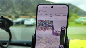
Collected measurement data from the monitoring station of the National Institute of Telecommunications in Gdańsk indicate a systematic and drastic increase in the scale of intentional interference with GNSS signals since the start of the year.
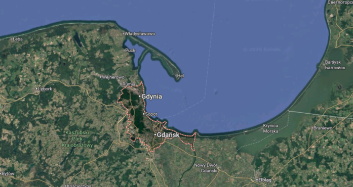
The phenomenon takes the form of both multi-hour interference in all GNSS bands, as well as partial interference (occurring in a selected band), in the Tricity area composed of Gdańsk, Sopot and Gdynia.
The institute also provided guidelines for people affected.
Analysis findings
Problems with applications based on satellite location are directly reflected in the statistics recorded by the intitute’s station:
- Intensity during the peak summer season. In May and June, significant multi-hour disruptions in all bands occurred on as many as 70% of the days of the month. Completely interference-free days accounted for only 10% (May) and 13% (June).
- In the first 19 days of August, the percentage of days with complete disruption was 63%, meaning that satellite navigation in civilian phones and receivers failed on average two out of every three days.
Impact on the user
On days with disruptions, mobile maps lose the signal completely, show the wrong location, or make it impossible to calculate a route, while on days with partial disruptions (frequency of 17-29% in the summer months), positioning can be significantly delayed or imprecise.
Systematic monitoring of disruptions confirms the presence of anomalies since January 2024. The situation deteriorated drastically in 2026 (when partial disruptions covered 48% of days and total disruptions 6%), reaching a very high level in the summer period, where the rate of days with significant disruptions oscillates around 39–70%).
Given the external nature of the phenomenon related to electronic warfare activity in the Baltic Sea basin, anomalies will persist as long as defensive and operational activities requiring the emission of jamming signals are conducted in the region.
Tips for residents and tourists
Limited trust in navigation. When in the Tricity area, people should not rely on phone map apps. It’s best to use traditional navigation methods or download offline maps.
Transport problems. GNSS failures prevent the proper operation of location systems in city bikes, scooters, and some city fleet systems.
Unmanned aircraft. Drone flights for recreational or commercial purposes are extremely risky in the current environment due to sudden connection breaks and loss of positional stability (GNSS/GPS), which can lead to loss of control of the device.