Lidar data fused for understanding of tropical forests

A University of Queensland, Australia, environmental project fused data from terrestrial and UAV lidar collections to estimate forest biomass.
Forest ecosystems contain more biomass than any other ecosystem. Estimating biomass — a critical endeavor to detect the health of ecosystems — can be difficult. Traditional methods can be destructive, such as harvesting trees to measure the weight of the different components.
“We know that forest ecosystems contain more carbon biomass than any other above-ground ecosystem on the planet,” said Kim Calders, Ghent University, on the TERN website. TERN is Australia’s land ecosystem observatory, under the University of Queensland.
It’s estimated that Australian forests store about 10 billion tonnes of carbon, but calculating an exact figure without cutting down trees is difficult. “Traditional methods of estimating aboveground biomass are based on volumes calculated from cut trees and expensive field measurements of tree diameter and height,” Calders said.
Enter 3D-FOREST
The three-year 3D-FOREST project is funded by the Belgian Federal Science Policy Office led by Calders and Hans Verbeeck from Ghent University, partnering with Harm Bartholomeus and Martin Herold from Wageningen University.
Tracking progress towards meeting major global environmental agreements and targets, such as the United Nations’ Sustainable Development Goals and The Paris Agreement, require detailed accounts of carbon stocks and how they’re changing over time.
To meet this need, the 3D-FOREST project is developing new on-ground remote sensing techniques to measure biomass and forest structure and validate global-scale satellite measurements.
“The concept of the project is to capture data to create ‘virtual forests’ with high level detail,” Calders said. “The combination of ‘bottom-up’ terrestrial laser scanning (TLS) and ‘top-down’ UAV lidar data improves biomass estimates and knowledge on how we can upscale plot-based measurements to the landscape level.”
Harvesting virtual forests
Representatives of the 3D-FOREST team undertook terrestrial laser scanning and UAV lidar data collection at three TERN sites: the TERN Litchfield Savanna SuperSite in the Northern Territory; the TERN Robson Creek SuperSite and the affiliate TERN Daintree Rainforest SuperSite in Queensland.
Back in the lab, virtual 3D forests created from the lidar data are then ‘virtually harvested’. Quantitative structure models (QSM) digitally weigh individual trees by calculating their volume and converting this to carbon mass.
“These 3D structural metrics and biomass estimates allow us to scale-up the spatial patterns of tree structure and evenness from the 1-hectare plot scale to entire forests,” Calders said. “This information is crucial for more efficient forest management, but also for better understanding of the spatial variation of forest structure in ecosystem models.”
Scaling up to global carbon budgets
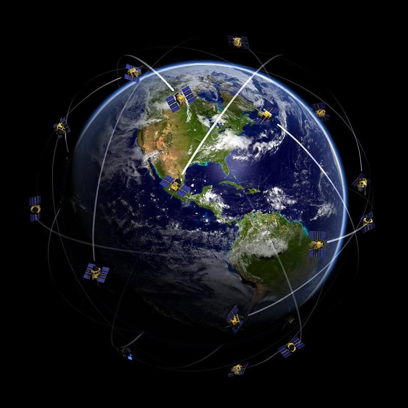
As Europe’s, America’s and India’s space agencies get ready to launch satellites to measure and map the planet’s forests in high-resolution 3D, the value of on-ground and UAV lidar data collected by Calders’ team at TERN sites is even more apparent.
The data from 3D-FOREST will be used to calibrate, validate and improve the accuracy of global bio-geophysical satellite data delivered by space missions including the European Space Agency’s BIOMASS, NASA’s GEDI, and the joint Indian Space Research Organisation and NASA NISAR.
“The ability for these space missions to scale-up estimates of forest biomass to the global carbon budget and monitor ecosystem disturbances is dependent on the high-quality ground reference measurements collected at ecosystem research infrastructure sites, including TERN’s,” Calders said. “The emerging methods and technologies for data collection, and the speed of their development, are truly exciting.”
The field campaign was made possible thanks to collaborations with the CSIRO, James Cook University and the Australian Government Department of Environment and Energy.
For more information on the TERN Ecosystem Processes platform, its network of 12 open-access SuperSites and eddy covariance flux towers, and the data they collect, click here or explore the open data via TERN’s Data Discovery Portal.


Follow Us