No audio available for this content.
News from the European Space Agency
As European governments plan their phased recoveries from the lockdown states triggered by the COVID-19 pandemic, the positioning delivered through satellite navigation is becoming more important than ever before, said the European Space Agency (ESA). Location is a key requirement when attempting to monitor and map the spread of a disease and satnav is one of the main tools supporting this, the agency added.
Since the outbreak of the coronavirus, many applications have been developed that use satnav-based location data to monitor the global spread of the virus and map outbreaks.
For example, Romanian company RISE developed an app called CovTrack, which monitors people in a user’s vicinity made identifiable via Bluetooth connections to the user’s mobile phone and stores the identification data of these devices.
By pressing a button, users can access the database in which the unique identifiers of the mobile phones are registered (without having access to any personal data of these mobile phone users), to verify whether the persons with whom users came in contact have subsequently been confirmed with COVID-19, ESA said. If users have identified a potential contact, they can refer to the relevant authorities whether that contact requires inclusion among the monitored persons, or even testing for COVID-19.
According to ESA, CovTrack, developed on a pro-bono basis, is a spin-off from the existing AGORA project for festival management, supported through ESA’s Navigation Innovation and Support Programme, focused on future navigation technologies.
ESA, along with the European Global Navigation Satellite System Agency (GSA) and European Commission, put together a repository of these apps. The list, based on apps that are already working and available in app stores, includes practical apps that facilitate the daily lives of citizens. Check out the list here.
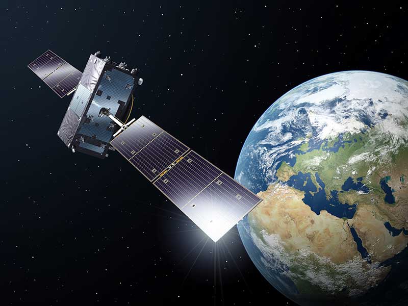
Europe’s Galileo, currently embedded in over 1.3 billion smartphones and devices worldwide, is helping to increase satnav accuracy and availability, especially in urban areas, ESA added.
In addition, GSA is developing its own Galileo-enabled application, Galileo for Green Lane, to monitor and ease the circulation of goods between European Union (EU) Member States while identifying potential congestion at Green Lane border crossings, thus ensuring EU citizens can access the needed supplies of critical goods.


