No audio available for this content.
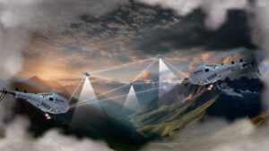
InfiniDome, Honeywell and Easy Aerial have successfully demonstrated their new Robust Navigation System for UAVs. The system integrates GPS anti-jamming technology, a radar velocity system and an inertial navigation system into a resilient system that enables UAVs to safely operate in GNSS-challenged or denied environments.
UAV developers or end users currently try to solve the problem of GNSS jamming either by creating “safe landing protocols” in GNSS-challenged environments or by adding various types of sensors such as lidar or optical. These sensors may not work in certain scenarios, such as when flying too high, too low or too fast; in fog or darkness; or above the ocean.
The Robust Navigation System, jointly developed by Honeywell and infiniDome, tightly pairs the GNSS-based UAV-tailored Honeywell Compact Inertial Navigation System (HCINS) with infiniDome’s GNSS anti-jamming technology (GPSdome), integrated with Honeywell’s Radar-based Velocity System (HRVS). It can be installed on almost any UAV, providing continuous, accurate navigation data in GNSS-challenged or fully GNSS-denied environments.
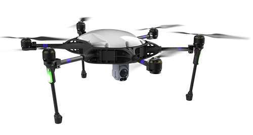
The companies demonstrated the new navigation system for Israeli defense prime contractors and drone companies and government end-users at a testing range in the center of Israel. The system was tested against two military-grade directional jammers of different types and bandwidths on customized Osprey Hexa-copter with a PixHawk 2.1 Cube Black flight controller. The GPS 1 input was a Here2 standard GNSS receiver and antenna module; the GPS 2 input was the Robust Navigation System (GPSdome 1.03 + HCINS + HRVS).
The goal of the demo was to show that a UAV in a GNSS-challenged environment (single direction of jamming) and fully denied environment (multiple directions of powerful jamming) can perform autonomous tasks accurately and safely without the pilot needing to assume manual control. This included beyond-visual-line-of-sight flights.
Each test was designed to be more difficult than the preceding one and would be executed only if the latter was successful. The intention was to find the barrier at which the system fails.
The first test was maintaining the UAV height (AltHold), position (PosHold) and Loiter autonomously under jamming conditions, followed by a simple point-to-point autonomous task under the same jamming conditions.
The UAV then performed a fully autonomous task including executing a 10-point polygon and returning to the same position accurately under the same jamming conditions. Finally, the UAV was tested for lift-off performance, executing the full polygon and landing under the jamming conditions.
Protected by the Robust Navigation System, the UAV passed all planned tests.