No audio available for this content.
Auterion, the company building an open and software-defined future for enterprise drone fleets, has partnered with Phase One, a developer and manufacturer of medium and large format aerial photography systems. The companies will make the Phase One P3 Payload lineup easily accessible, with a plug-and-play integration to Auterion’s open drone ecosystem.
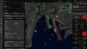
Enterprise inspections today are limited to periodic inspections of selected assets in a small geographic area. Enterprises are forced to use either internal drone operators or operators who are trained in the organization’s workflow to effectively collect pertinent data. Scaling the inspections from tens of assets to thousands of assets requires a platform-agnostic, end-to-end, streamlined workflow. This enables drone operators to conduct the inspections across a large region, lowering the cost and increasing the coverage.
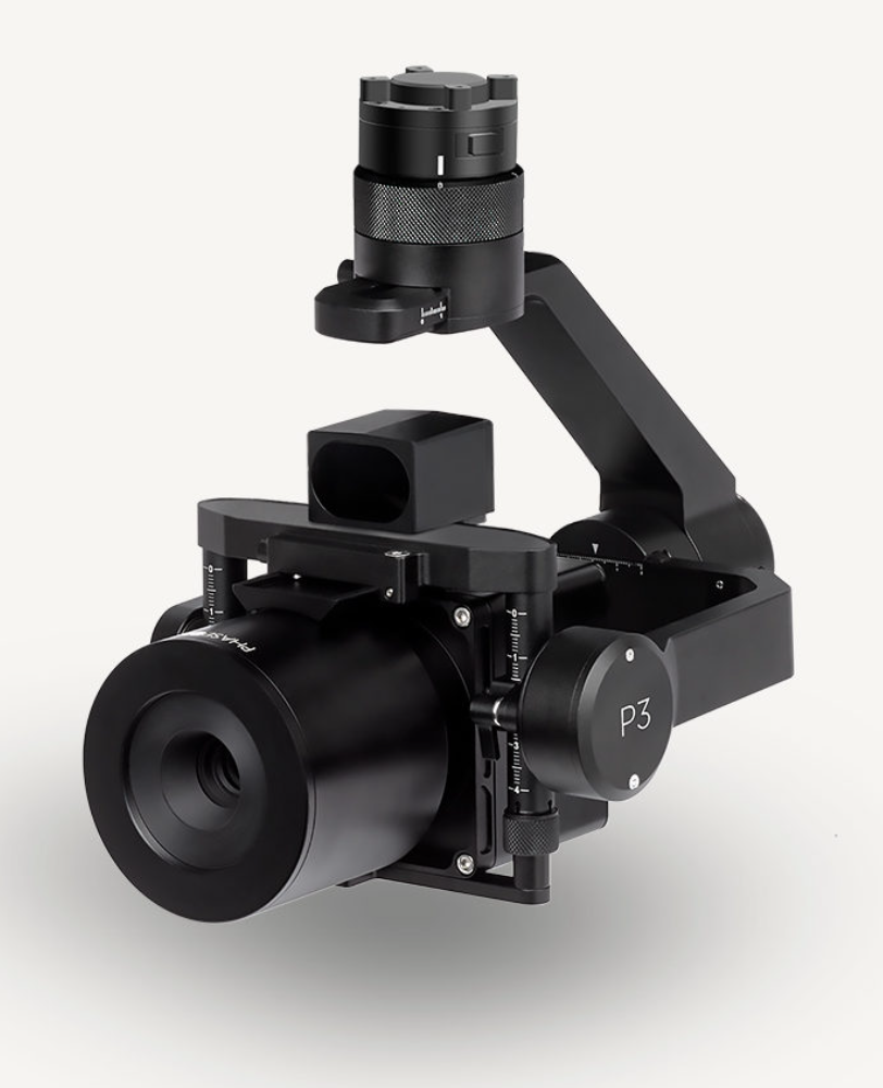
Known for its image quality in high-precision and time-critical inspections, Phase One’s P3 Payload consists of a high-resolution 100MP iXM camera—uniquely designed for UAVs—containing a BSI sensor with the highest dynamic range of 83dB, a rangefinder with smart focus, and a broad array of lenses including 35 mm, 80 mm and 150 mm. The partnership joins the P3 Payload’s inspection capabilities with the versatility native to Auterion’s ecosystem of software-defined and connected drones— enabling customers to integrate real-time inspection data into their existing applications and workflows. The P3 Payload is Phase One’s first payload compatible with the Auterion ecosystem.
Drones leveraging the Phase One P3 Payload and the power and connectivity of Auterion’s Skynode and Suite are capable of dramatically scaling high-value, high-risk and time-critical inspections including those of wind turbine fields (on land and offshore), oil refineries and offshore rigs, power masts and utility lines, bridges, dams, nuclear facilities, large infrastructure projects and other use cases. The combination also benefits faster geospatial mapping, bringing world-renowned image quality with very high resolution, dynamic range, color fidelity and geometric accuracy to projects.
Phase One A/S researches, develops, and manufactures medium format and large format digital cameras and imaging systems. Auterion provides enterprise and government with an ecosystem of software-defined drones, payloads, and third-party applications within a single, easy-to-use platform based on open-source standards.