Listen to this content
My previous newsletter highlighted the National Geodetic Survey (NGS) project that will deliver a reliable, consistent, and accurate method for aligning non-NCN CORS and RTNs with the modernized NSRS. I highlighted that this was based on NGS actively listening to user feedback. Please share your feedback with NGS — they are more than listening to your feedback, they are hearing you and doing something about it.
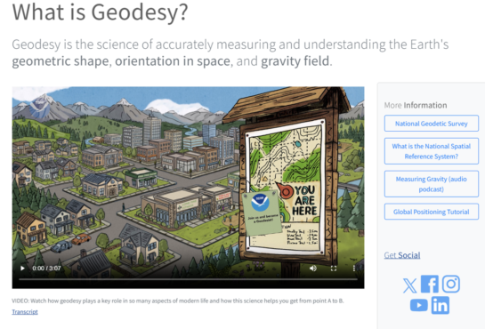
NGS Geodesy 3-Minute Video
Here’s something that highlights the importance of geodesy — a topic very close to my heart.
NOAA has released an excellent new animated video that serves as a friendly introduction to geodesy for the public. In just three minutes, this engaging animation explains what geodesy is and why it matters, without diving too deeply into technical details.
You can watch it here:
- On the NOAA website: oceanservice.noaa.gov/facts/geodesy.html
- On YouTube: youtu.be/120sqCmhcUk
I highly recommend sharing this video with family, friends, students, or anyone curious about how we understand our planet’s shape and position. It’s a great teaching tool!
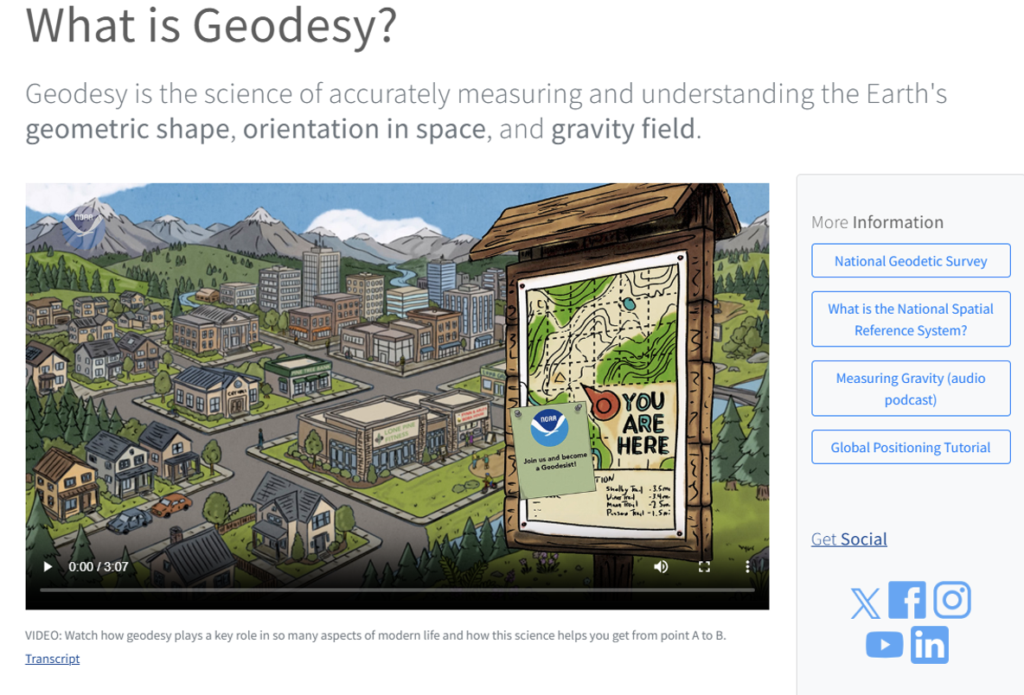
Why is this video important to share?
My December 2022 GPS World Survey Scene Newsletter talked about creating Geodesy applications without math equations: Is that possible? The answer is no, but it is possible to provide examples of how basic geodetic concepts can be described without using complex math equations. See my December 2022 GPS World Survey Scene Newsletter for specific examples. This latest video by NOAA does a good job of explaining the importance of Geodesy without using equations; it is short and understandable for all ages.
Today, most people rely on their cellphones or in-car navigation apps to figure out where they are and get directions to their destination on a digital map. Many in the younger generation have never even used a paper map to plan a route.
I use these apps constantly myself — in fact, I no longer keep a paper map in my car. That said, there have been a few times when I really wished I still had one after losing cell service and internet access in remote areas.
To help illustrate the everyday importance of geodesy, I’ve highlighted several key sentences from the NOAA video and its transcript that I believe are especially valuable for understanding how this science quietly supports modern life.
Every day, we need to know where we are and how to get where we need to go. But did you ever stop to think just how we know where “here” is, and how the technology we rely on gets us “there”?
I often use the Maps app on my phone as a teachable moment with my grandkids to explain what I’ve done for over 50 years — and still do today. My goal has always been to spark curiosity about geodesy in people of all ages.
In my view, high schools and colleges should include lessons on how phones know where they are, why the Earth isn’t a perfect sphere, how and why we measure tectonic plate movements, the basics of satellite orbits, and the critical role of geographic coordinates in creating maps and building accurate Geographic Information Systems (GIS).
Of course, when I explain these concepts to my grandkids, they often look back at me like deer in the headlights — but I’m not giving up anytime soon!
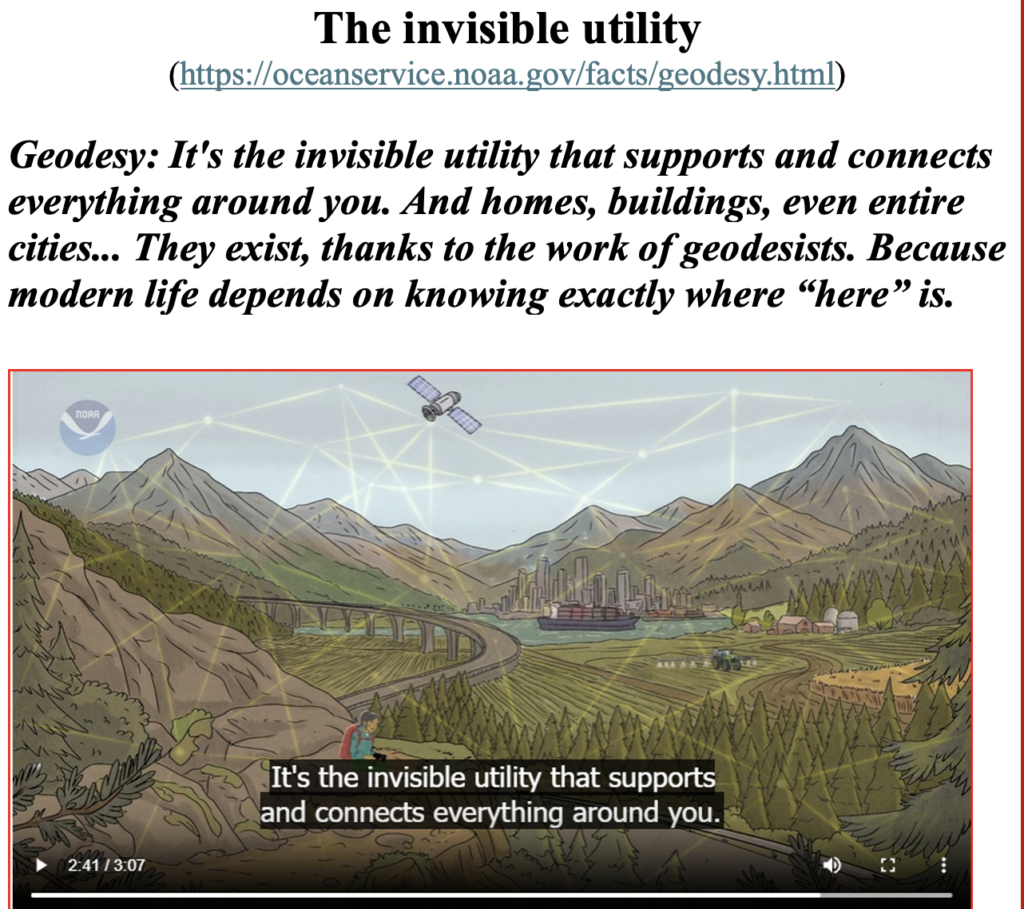
Trying to navigate a busy street on your way to the grocery store? Geodesy helps you get there quickly and safely. That farmer trying to grow as much food as they can? They’re using geodesy to save water and fertilizer, applying them to crops exactly where needed. That means a more resilient and reliable food supply at your local grocery store. That package you ordered online? It likely passed under bridges with only feet to spare.
Geodesy does far more than help us know where we are and how to get there. Farmers, for example, use geodetic tools to precisely map their fields, allowing them to apply fertilizer more efficiently and effectively — ultimately boosting productivity and profitability.
The NOAA video does an excellent job explaining these real-world benefits of geodesy in clear, accessible terms — without any equations. This NOAA video explains these real-world benefits in clear, accessible language — no equations needed — and shows how geodesy is the invisible utility that underpins and connects everything around us.
Important Deadline for Submitting Projects to NGS
Now, here’s an important update on the status of the NGS modernized National Spatial Reference System (NSRS).
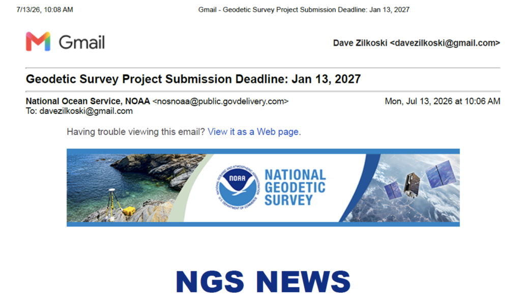
NGS has announced a key deadline for users who submit survey data for official publication. In an email sent on Monday, July 13, 2026, NGS informed submitters that the final deadline for National Geodetic Survey Project Submissions is January 13, 2027.
As promised in earlier notices, they have now provided the full six-month warning. If you have projects in the pipeline, now is the time to act.
What Does the July 13 News Notice Mean to Users?
As stated in the news announcement, “After January 13, 2027, NGS will no longer accept GPS project submissions through OPUS Projects 5. However, OPUS Projects 5 will remain available for processing GPS baselines and performing network adjustments within the current NSRS during the transition period.”
The news announcement also stated that “NGS is also developing OPUS 6, a cloud-native software suite for geodetic survey project processing and submission within the modernized NSRS. OPUS 6 is being designed to support several enhancements, including multi-GNSS baseline processing capabilities with NGS scientific software M-PAGES, and support for the modernized NSRS. OPUS 6 is also planned to support the ingestion of leveling and total station data for computations, corrections, and adjustments.
Incorporation of leveling and total station data will be a great benefit to the surveying and mapping community. That said, at this time, NGS stated that OPUS 6 will not be available when the new NSRS is officially adopted by the Federal government.
Why is the Availability of OPUS 6.1 Important?
OPUS 6.1 will be the tool used by users to submit projects to NGS to review a project’s data and results for incorporation and publication in NGS’s database. My March 2026 GPS World Newsletter discussed the OPUS products under development such as OPUS 5.2, OPUS 6, and OPUS 6.1. Until OPUS 6.1 (replacement for OPUS Projects 5) is available the updated OPUS-Static routine (OPUS 5.2) and its sharing capabilities (that is, OPUS 5.2 Share) is NGS’s recommended way of contributing GNSS observations upon rollout of the modernized NSRS. This sounds like a good thing, and it is, but it does not replace submitting a project’s data to NGS for their review and official publication.
NGS does state that users will be able to obtain estimates of coordinates (NOT Published Coordinates) in the new NSRS using OPUS 5.2 and then submit data to the OPUS Share website. Unfortunately, using OPUS Share results that are NOT official NSRS coordinates published by NGS could lead to confusing results and potential lawsuits since NGS does not stand behind the results and recommends NOT using OPUS Share results for geodetic control.
As I stated in my August 2025 GPS World Newsletter, “This is NGS’s statement on OPUS-Share: Additionally, the popular function of “sharing” your solution with others (colloquially called “OPUS-Share”) will be retained, but with appropriate caveats that the shared solution should not be used as geodetic control.
I’ve asked this before, but it bears repeating: Why should users rely on OPUS-Share to establish geodetic control when NGS itself explicitly advises against using OPUS-Share results for that purpose?
What are the Differences Between OPUS Share Coordinates and Coordinates Published on NGS Datasheets
In previous newsletters, I’ve shared my thoughts on using OPUS Share results for projects. While they serve a useful purpose, they should NOT be treated as geodetic control.
I’m concerned that many users still don’t fully understand the important differences between OPUS Share coordinates (which appear on the OPUS Share website) and the official coordinates published on NGS datasheets.
To approach this from a fresh angle, I asked an AI application the following question:
“What is the difference between OPUS Share coordinates and NGS Published coordinates?”
Here’s the clear, concise response it provided:
“OPUS Share results are user-submitted GNSS (GPS) solutions processed through NOAA’s Online Positioning User Service (OPUS) that users choose to share publicly. NGS Published coordinates are the official, authoritative geodetic control coordinates on NGS datasheets.”
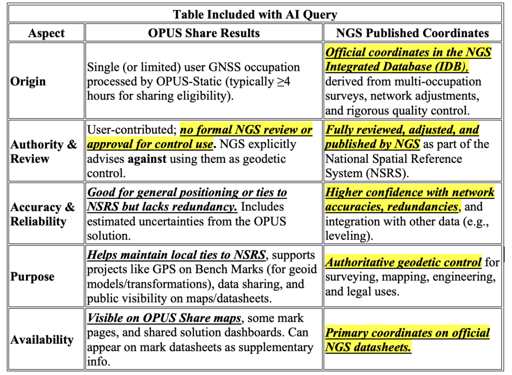
The table highlighted that OPUS Share results are very useful for maintaining connections to the NSRS, but they are not considered official coordinates reviewed and published by NGS. This agrees with NGS’s statement that OPUS Share coordinates should not be considered as geodetic control.
As a former NGS professional who continues to track its progress closely, I find the rollout plan for the remaining NSRS modernization products cautiously positive. That said, I have real concerns that NGS and the broader stakeholder community should address proactively to ensure a smoother transition. What would the impact on users who require NGS-reviewed, approved, and published projects if OPUS 6.1 were unavailable for three, six, or twelve months? How much would this delay mean to current and upcoming work, and how critical is the OPUS 6.1 release timing to those users?
These important issues are among those being actively examined by the North Carolina 2022 Reference Frame Working Group. For more details on the group and its efforts, see my May 2026 GPS World Survey Scene Newsletter.