Listen to this content
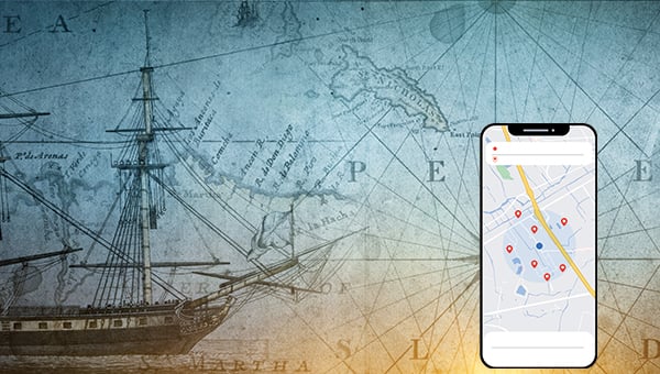
Look at your phone. There in the center is a small blue dot on a map showing your exact location. It’s like your shadow. It is just there wherever you are. Yet that dot is the end of a story over three centuries long, paid for in shipwrecks and lost lives, determination in the face of arrogance and genius responding to hubris. The blue dot is the evolution of mankind’s quest to know where he is on this Earth and among the stars. The blue dot had brilliant inventors, but inventions alone are not enough. Oftentimes great men must drive that change. King George III, President Dwight Eisenhower and President Bill Clinton are the godfathers of the blue dot. They led the change that made it happen.
“Any sufficiently advanced technology
is indistinguishable from magic.”– Arthur C. Clarke, Hazards of Prophecy: The Failure of Imagination
Admiral Sir Cloudesley Shovell was commander-in-chief of the British fleet. He was knighted by the king. He had risen on merit, starting as a cabin boy. He knew the sea. He knew his ships. And he was good in battle. He was returning from a victorious outcome in the Mediterranean Sea against the French. It was Oct. 22, 1707. It was night. It was stormy. He thought they were a hundred miles out to sea. They were not. The fleet sailed headlong into the jagged rocks of the Scilly Isles, just 33 miles from England’s own coast. Four ships were lost within minutes. Admiral Shovell and nearly two thousand sailors drowned. The cause was not the storm. It was location. They misjudged where they were.
A crestfallen nation was outraged. Something to be done. In response, Parliament passed the Longitude Act of 1714, the world’s first open challenge, offering a king’s ransom of twenty thousand pounds to anyone who could solve the longitude problem; a sum worth many millions today.
Defining the problem of longitude was simple. Solving it was not. The Earth turns a full 360° every 24 hours, which works out to 15° every hour, or one degree every four minutes. So, if a sailor carried a clock set to the time back in Greenwich and compared it to his local noon, the gap between the two told him how far east or west he had traveled. One hour’s difference meant 15° of longitude. Washington, D.C., for example, is 77° west, which puts it 5 hours and 8 minutes behind Greenwich time. Finding latitude was much easier and sailors had been doing it for centuries; a sailor merely read the angle of the sun at noon and the North Star at night to know the ship’s position north of the equator. Longitude was the missing half, and it could only be known by keeping perfect time at sea.
Time for John Harris
Two decades later, in a classic case of “be careful what you ask for because you just might get it,” walked in John Harrison, a carpenter and self-taught craftsman from Lincolnshire with little formal schooling. He had read Galileo and Newton. He knew that speed and distance were related to time. His answer to the problem with navigation wasn’t staring at the stars like the Royal Society thought it must be. It was time. That is what was missing from location. Harrison’s solution was a precision clock immune to the rocking of the ship, the damp sea air, and the swings of temperature. He set out to build that clock. He did. Five of them. He built a clock so precise that it traveled nearly three months across the Atlantic to Jamaica and only lost 5 seconds. The captain could at last calculate his longitude. Time, Harrison proved, was necessary for precise location.
But genius is only welcomed when it advances those in power. Real genius doesn’t do that. It rattles the cage of the status quo. The Board of Longitude, dominated by astronomers, wedded to measuring the motions of the moon, could not admit that a village craftsman had bested them. All of them. For 40 years, they denied Harrison his victory, withheld his prize, and mocked him to the point they became fools. They forced him to publicly display how he built it. The French paid attention. England had given away its advantage because of petty men. Their hubris was criminal.
By 1772, Harrison was an old man of nearly 80, ground down by bureaucratic spite, his life’s work strangled by men too proud to admit they had lost. He petitioned the king.
King George III, interested in science and machines, took the watch into his own hands and tested it at his private observatory for 10 full weeks. He himself made the measurements and kept the watch under lock and key. Afterward, he reportedly thundered, “By God, Harrison, I will see you righted!” When the greatest authority in the land declares a matter closed, the matter is closed. Parliament paid. The clockmaker had defeated the haughty, and time became the basis of navigation. It remains that way.
Navigation was based on versions of Harrison’s clock for the next 200 years. World War I was fought on it. World War II was fought on it. Technology changed, but the basis of time as navigation had not.
Think about this for a moment. The British had solved a problem no one in 2,000 years could solve. Usually, when that happens, it is a closely held government secret. It is military and national advantage. Had the Board paid Harrison when he won with the H4 and told him to keep it a secret, the British would have dominated the seas for at least another century. They would have dominated global trade. They would have been unchallenged, and the world would look very different today.
The blue dot is made from a sea disaster; the missing element of time; grit and determination, and a king’s wisdom over the hubris of petty fools.
Two centuries later, hubris would again cause a nation to make the same blunder in reverse, handing a superior technology it didn’t know it had to its enemy.
Making a Transit
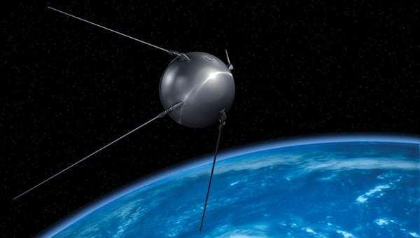
On Friday evening, Oct. 4, 1957, the Soviet Union launched Sputnik, a polished metal sphere orbiting the Earth broadcasting a beep every second. It was meant as audible proof of Soviet supremacy, a boast aimed squarely at America. It was a 21-day victory lap that Soviet power now extended into space. Newspapers fanned the flames of panic. The high ground of space belonged to the enemy.
President Dwight D. Eisenhower didn’t flinch. The five-star General had stood up to and defeated the Third Reich. He’ll do it again. This time against the Soviets. He put his General’s cap back on and went to war. This time as the President. He built America’s defenses, among them the space program that put the United States into orbit.
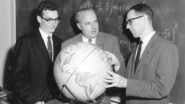
At the Johns Hopkins Applied Physics Laboratory (JHAPL), two young physicists, William Guier and George Weiffenbach, tuned their radio to Sputnik doing what physicists do. Marveled at it. Studied it. They heard the Doppler shift of its pitch as it passed overhead. They asked the question. From a known point on Earth, could the position of an unknown satellite be calculated using the Doppler shift? They worked through the calculations, and before Sputnik went silent three weeks later, they had figured it out. The math worked.
The director of JHAPL, Frank McClure, called them into his office. He told them good work figuring out the orbital mechanics of Sputnik. Could they invert the formula? He asked the question, “From the position of a known satellite in orbit can the exact location of an object on the Earth be determined?” The answer was yes. It is the foundational mathematics of GPS. In that instant, what the Soviets had meant as a taunt to the West, inadvertently handed the United States the key to precision targeting and ultimately global navigation. Sputnik was a boomerang. The Soviets were not prepared for what came back.
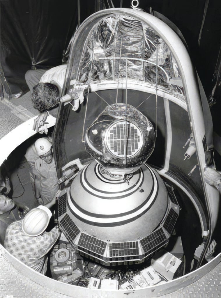
That insight became Transit, the first satellite navigation system, and it was built to solve a terrifying problem. America’s nuclear submarines carried the most destructive weapons ever created, yet once launched, there was no course correction in flight. The Polaris missiles were fire-and-forget. Their accuracy entirely depended on them knowing both the launch and target coordinates precisely. Transit provided those fixes. But the system was slow. A submarine had to surface and wait for a satellite pass turning a stealth weapon into a sitting duck.
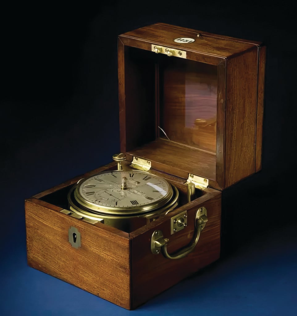
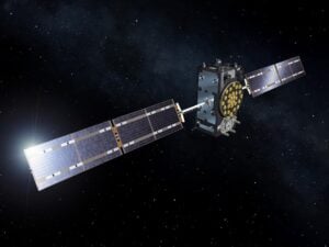
The answer came from Roger Easton, the John Harrison of the era. He was a scientist at the Naval Research Laboratory. Easton understood that the satellites were missing precision timing. They needed a time signal from the satellite to the receiver. Correcting for the effects of gravity and speed on time, the Timation satellites carried relativity-corrected atomic clocks into orbit. Harrison’s marine chronometers were now space-based, and those satellites evolved into what would become GPS.
The fire of mutually assured destruction and nuclear annihilation forged the blue dot.
By the close of the century the blue dot was nearly ready. The GPS constellation had cost the taxpayers billions of dollars. And the taxpayers were demanding it, especially to prevent another disaster like Korean Airlines Flight 007 that was shot down for flying into Soviet airspace. Yet the military deliberately blurred the civilian signal, a policy known as Selective Availability.
The most precise instrument in human history was being withheld from the very people who had paid to build it.
Effects of Removing SA
That ended at midnight on May 2, 2000. President Bill Clinton switched off Selective Availability. In a single technical instant, civilian accuracy increased from one-hundred meters to less than ten without anyone having to change anything. Commerce, farming, search and rescue, the hidden timing that keeps the internet and the power grids alive, and whole industries not yet conceived all poured through the open door at once.
A tsunami of commerce and industry were unleashed. Google Earth became available in 2005; the iPhone arrived in 2008 putting a GPS receiver in every pocket. Google Maps real-time navigation came out in 2008, and the blue dot was released. The invisible fabric of modern civilization is location, woven so deeply into our daily lives it has become the magic that no longer marvels us.
And here is the quiet wonder of it all. Hold your phone, and you hold a circle of certainty about one foot across. So does the President. So does the billionaire. So does the student. No circle is larger because its owner is powerful; no circle is smaller because its owner is not. Everyone knows exactly where they stand, within a circle of the very same size.
The blue dot is your digital self. It is how we interface with the digital world.
It was made from a shipwreck and the tears of a nation for their drowned admiral, the determination of a clockmaker, the curiosity of two physicists, and a scientist with atomic clocks. Then, under the extreme pressure of a world on the brink of annihilation, it was forged in the fire of the Cold War into Trinitite. Once it was released, it became the invisible magic of modern civilization resting in the palm of our hands.
Yet none of it, not one swing of that long pendulum across 300 years, would have reached your hand without three men who held the power to right the course of history. In your hand you hold their courage and the accumulated results of those decisions.
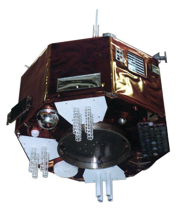
The underlying foundational physics that GPS is built on began with Pythagoras and Archimedes, and goes through Galileo, Kepler, Newton, and Einstein. Each of them stood on the shoulders of those who came before. That blue dot is the accumulated knowledge of human progress.
And then, on Feb. 14, Valentine’s Day, 1990, Voyager 1, at a distance of 3.7 billion miles, turned around to look back at Earth before shutting down its cameras to conserve energy, and what it saw was the Earth among the stars.
Carl Sagan captured the blue dot in the field of stars perfectly,
“Look again at that dot. That’s here. That’s home. That’s us. On it everyone you love, everyone you know, everyone you ever heard of, every human being who ever was, lived out their lives — on a mote of dust, suspended in a sunbeam.”
All of that is in that dot. And that dot is in the palm of your hand. Where will you take it from here?