No audio available for this content.
GNSS correction service receivers and the firmware-upgraded ZED-F9P upgraded to achieve reliable centimeter-level accuracies in seconds
U‑blox is offering a suite of products and feature additions that simplify access to reliable centimeter-level positioning accuracies for the industrial, navigation and robotics markets.
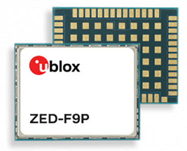
The upgraded ZED-F9P high-precision GNSS receiver module and the corresponding NEO-D9S and NEO-D9C GNSS correction data receivers offer customers flexibility in assembling scalable solutions for their specific use cases, including robotic lawnmowers, unmanned autonomous vehicles (UAV) and semi-automated or fully automated machinery.
The software-upgraded u‑blox ZED-F9P-04B high-precision GNSS receiver is the first to support a secure SPARTN GNSS correction data format. It seamlessly connects to two new GNSS correction service receiver modules that stream correction data from communication satellites:
- The u‑blox NEO-D9S will initially cover the European and U.S. markets before rolling out to the other areas of the globe.
- The u‑blox NEO-D9C will cover Japan.
The NEO-D9S receives correction data using the SSR SPARTN data format over the satellite L-band channel. It uses cryptography to securely deliver PPP-RTK GNSS correction data, such as that offered by u‑blox’s PointPerfect service.
The NEO-D9C leverages the subscription-free Centimeter-Level Augmentation Service (CLAS) broadcast over mainland Japan provided by the Japanese Quasi-Zenith Satellite System (QZSS) constellation on the L6-band channel.
While u‑blox GNSS receivers are designed to work with most correction services on the market, pairing the ZED-F9P with the NEO-D9C or the NEO-D9S correction data receiver enables customers to save data transmission cost and operational efforts, the company said.
ZED-F9P-04B offers a new feature called protection level, which increases the trust applications can place in its position output. By continuously outputting the upper bound of the maximum likely positioning error, referred to as the protection level, the receiver lets autonomous applications, such as UAVs, make efficient real time path planning, increasing the quality of their operations.
In the case of robotic lawnmowers, the increased accuracy and reliability of the position will, for example, make it possible to do away with boundary wires, which today are buried under the turf to delimit the mowing area. Furthermore, it will allow lawnmowers to systematically cover a plot based on a digital map, as opposed to the random mowing approach commonly used today.
First samples of these products are available today, in professional and automotive grade. The correction data receivers will be available in automotive grade for the automotive markets.