NGA contracts with Planet for small satellite imagery
The National Geospatial-Intelligence Agency (NGA) has signed a $20 million introductory contract with Planet that will provide small satellite collection and coverage of most of the Earth’s landmass.
The agreement is a step toward harnessing the potential, capabilities and services of the small sat and commercial imagery environment.
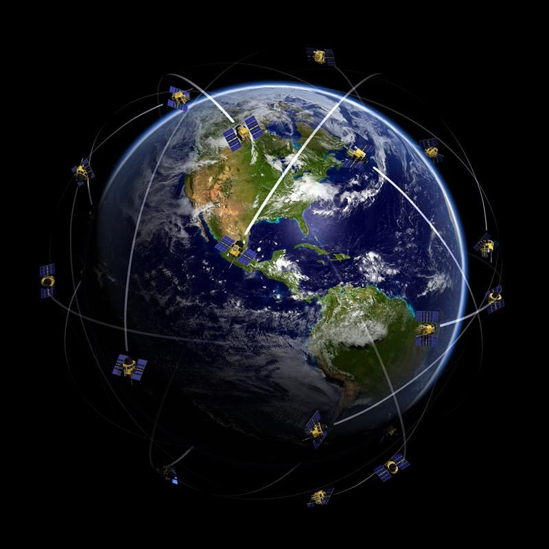
The NGA will have access to a global imagery refresh every 15 days of most of Earth’s landmass through the new contract. Planet is a commercial imagery provider operating the largest constellation of Earth-imaging satellites.Its feed, known as the Planet Feed, will be used across the National System for Geospatial Intelligence (NSG) and select members of the civil federal community. The NSG is the operating framework supported by producers, consumers or influencers of geospatial intelligence, or GEOINT.
“Improving our profession means further committing to the use of innovative capabilities being developed and deployed by commercial data providers and analytic companies for mission accomplishment,” said NGA Director Robert Cardillo at the May 2016 GEOINT Symposium in Washington, D.C. “Our commercial space partners will provide meaningful, higher revisit capabilities this year and we look forward to turning their exciting potential into our mission reality.”
The introductory contract includes a seven-month period of performance, beginning Sept. 15 and valued at $20 million.
The Planet Feed includes multispectral imagery from constellations at 3-5 meter and 6.7 meter resolutions. The imagery products will include unrectified and orthorectified images and orthomosaic single-pass tiles. The global scope of coverage and high temporal frequency of collection from Planet provides NGA with new data sources to support the agency’s many missions including foundation GEOINT, humanitarian assistance, disaster response and intelligence.
“Planet’s mission to provide timely, global imagery to empower informed, deliberate and meaningful stewardship of the planet is directly in line with our mission,” said John Charles, NGA commercial imagery lead. “We’re no longer simply admiring the potential of small satellites and their persistent capabilities, we’re harnessing that potential.”
Planet designs, builds, and operates a constellation of Earth imaging nano-satellites. The global scope of coverage and high temporal frequency of collection from Planet will provide NGA with new data sources to use for geospatial intelligence analysis.
Commercial GEOINT Activity. Earlier this year, NGA, together with the National Reconnaissance Office, also launched a new office to synchronize activities for collection and analytic capabilities that can benefit both agencies.
Commercial GEOINT Activity (CGA) allows both agencies to assess current capabilities and develop strategies to ensure the timely and successful integration of commercial innovations that will benefit NGA and NRO.
This activity serves as a voice for NGA and NRO to the commercial GEOINT enterprise. The CGA conducts joint assessments, recommends investment decisions, and engages user communities. It advises NGA and NRO on synchronizing joint acquisition activities for vendors who can provide both collection and analytic capabilities to benefit the agencies. The CGA also develops strategies to access, acquire and integrate commercial GEOINT capabilities.
The CGA began operations on Sept. 30.


Follow Us