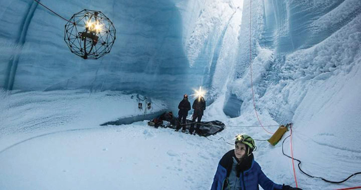
DARPA puts navigation for deep dives to the test

Robots, UAVs go head-to-head in DARPA subterranean challenge
The U.S. Defense Advanced Research Projects Agency (DARPA) is looking for novel approaches to rapidly map, navigate and search underground environments during time-sensitive combat operations or disaster-response scenarios.
Eight teams have qualified for the DARPA Subterranean (SubT) Challenge Systems Competition Final Event. On Sept. 21–23, the teams’ robots will have to quickly navigate unfamiliar underground environments at the Louisville Mega Cavern in search of common items including backpacks, cell phones, trapped survivors and even invisible gas.
Those who find and identify the most items will win prizes of $2 million for first place, $1 million for second place and $500,000 for third place. DARPA-funded and self-funded teams have an equal chance to win prize money in the final event, DARPA states.
The SubT Challenge has held three preliminary events over the past two years — tunnel, urban and cave circuits. The final event will include elements of all three subdomains.
- Tunnel systems can extend many kilometers in length with constrained passages, vertical shafts and multiple levels.
- Urban underground environments can have complex layouts with multiple stories and span several city blocks.
- Natural cave networks often have irregular geological structures, with both constrained passages and large caverns.
The SubT Challenge is run by DARPA’s Tactical Technology Office (TTO) to uncover innovative solutions to life-threatening, real-world impediments. “Complex underground settings present significant challenges for military and civilian first responders,” explained DARPA Program Manager Timothy Chung.
Chung added that the project has already achieved success. “Multimodal sensing developed through collaboration of robots during this project has increased the probability of correctly identifying important targets in real life,” he said. “The SubT Challenge is pushing researchers and startups to move to greater autonomy and has led to huge leaps in capability within subterranean environments while allowing learning from failure in non-critical situations.”
In addition to the Systems Competition involving physical robots, a Virtual Competition is being held. The teams that qualify for the final virtual competition will be announced later this summer. Teams in the Virtual final event will compete for up to $1.5 million, with additional prizes for self-funded teams in each of the Virtual Circuit events.
FINAL EVENT TEAMS
DARPA-Funded
- CERBERUS: CollaborativE walking and flying RoBots for autonomous ExploRation in Underground Settings
- CoSTAR: Collaborative SubTerranean Autonomous Resilient Robots
- CSIRO Data61
- CTU-CRAS-NORLAB: Czech Technical University – Center for Robotics and Autonomous Systems – Northern Robotics Laboratory
- Explorer
- MARBLE: Multi-agent Autonomy with Radar-Based Localization for Exploration
Self-Funded
- Coordinated Robotics
- Robotika International (Czech Republic, United States and partners)FINAL EVENT TEAMS


Follow Us