NASA’s Artemis program will need lunar spatial reference system
January 13, 2021
We leave as we came, and, God willing, we shall return, with peace and hope for all mankind.” […]
Read More
![Image: NAPSG [https://www.napsgfoundation.org/]](https://www.gpsworld.com/wp-content/uploads/2020/11/NAPSG-webpage-2.jpg)
Tenacity of spirit is one of the great virtues. Supporters of geospatial technology have often had to endure […]
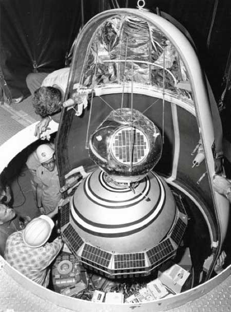
Sixty-three years ago, on Friday, Oct. 4, 1957, the Space Age began — most everyone alive today is […]

As technology evolves, the Civil Air Patrol will continue to be a platform for implementing new technologies to […]
The world so close has never seemed so far away. Locked up and adrift, somewhere between the comfort […]

Birth of an epidemic Men wearing white bio-suits entered the market from the main entrance. A panic ensued […]

How are oblique views derived from aerial imagery? Typically, a camera takes a field of view of 120 […]
Written by William Tewelow, GISP and Co-written by Jon Gustafson, GISP Significant focus on infrastructure asset delivery and […]


Follow Us