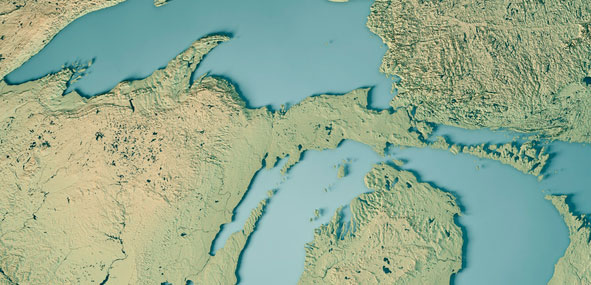
FIG workshop delves into Great Lakes, highlights GNSS techniques
August 4, 2021
In one of my previous columns, I described the National Geodetic Survey’s (NGS) plans for replacing the North […]
Read More

In one of my previous columns, I described the National Geodetic Survey’s (NGS) plans for replacing the North […]

Esri is offering two major capabilities in Site Scan for ArcGIS that will enable governments and critical infrastructure […]

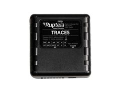
Fast-growing European transport telematics company Ruptela has expanded its global presence to the United States with a tailored […]

Around the world, countries are cautiously beginning to reopen businesses and activities they had shut down to limit the […]
Sapcorda Services GmbH has released its SAPA (Safe And Precise Augmentation) Premium GNSS positioning service. The SAPA service […]
NSGIC project moves into second phase of Geo-Enabled Elections project The National States Geographic Information Council (NSGIC) has […]
NSGIC project moves into second phase of Geo-Enabled Elections project The National States Geographic Information Council (NSGIC) has […]
Follow Us