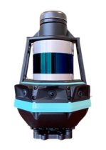
Trimble deploys custom Applanix positioning system for autonomy
June 17, 2022
Customizable system provides robust positioning without added site infrastructure for IHI Corp. Trimble has announced the first deployment […]
Read More

Tokyo-based Kudan Inc. demonstrated the use of a 3D-lidar simultaneous localization and mapping (SLAM) device to create a […]

Team Provides Accurate 3D Maps for Smart City Applications According to 2019 statistics, more than 10,000 residential buildings […]

SLAM-based mobile mapping with integrated 360° color is a rugged, geo-enabled, high-density and versatile workhorse Kaarta, an innovator […]
The latest software release for the SLAM-based NavVis M6 Indoor Mobile Mapping System (IMMS) automatically detects and removes point cloud […]

Q: How can positioning technology ensure safety for passengers of autonomous cars and for others on or near […]
Follow Us