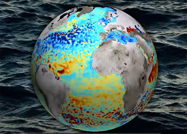
GNSS signals help map sea-surface topography
March 22, 2022
News from the European Space Agency Monitoring the constantly changing shape of the sea surface is important for […]
Read More

News from the European Space Agency Monitoring the constantly changing shape of the sea surface is important for […]

A new concept that involves mounting an instrument on the International Space Station and taking advantage of signals from navigation satellites could provide measurements of sea-surface height and information about features related to ocean currents, benefiting science and ocean forecasting.
Follow Us