
New surveying and mapping textbook available for download
February 4, 2022
A new surveying and mapping textbook is now available on the OPEN Textbook network. Written in English, the […]
Read More
A new surveying and mapping textbook is now available on the OPEN Textbook network. Written in English, the […]
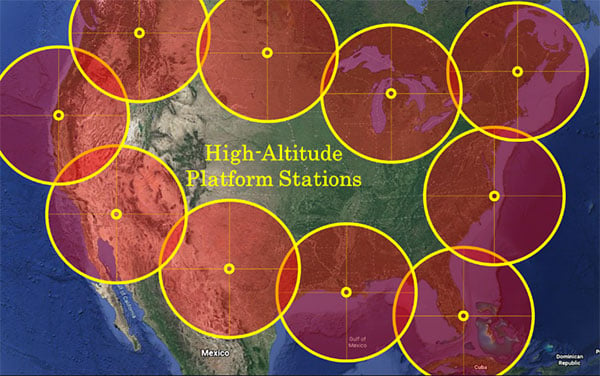
“We’re at 103,000 feet. As you look up the sky looks beautiful but hostile. …Can see for over […]

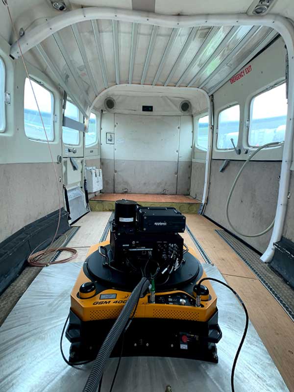
GPS and airborne light detection and ranging (lidar) have revolutionized archaeology. In just a little more than a […]
SPH Engineering has updated its UgCS software with a lidar toolset for UAVs. The toolset is designed to […]
Earlier this year, we looked back at 2020 and reviewed how surveying has dealt with the worldwide pandemic […]
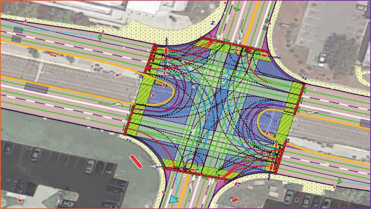
By Ethan Sorrelgreen Chief Product Officer, Carmera Since the early days of autonomous vehicles (AVs), maps — specifically, […]
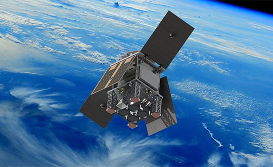
The small satellite will measure climate variables using GNSS Reflectometry The European Space Agency (ESA) has selected HydroGNSS […]
Atlantic — a remote sensing, surveying and consulting business — has purchased a Phase One Industrial 280MP large-format aerial […]


Follow Us