NV5 Geospatial maps North American shorelines and riverine environments
April 4, 2023
NV5 Geospatial has mapped more than 26 million acres of North America’s shoreline and riverine environments across more than 200 projects.
Read More

NV5 Geospatial has mapped more than 26 million acres of North America’s shoreline and riverine environments across more than 200 projects.

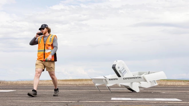
Amazon has put out a video to show how the company is building its drone delivery service. The […]

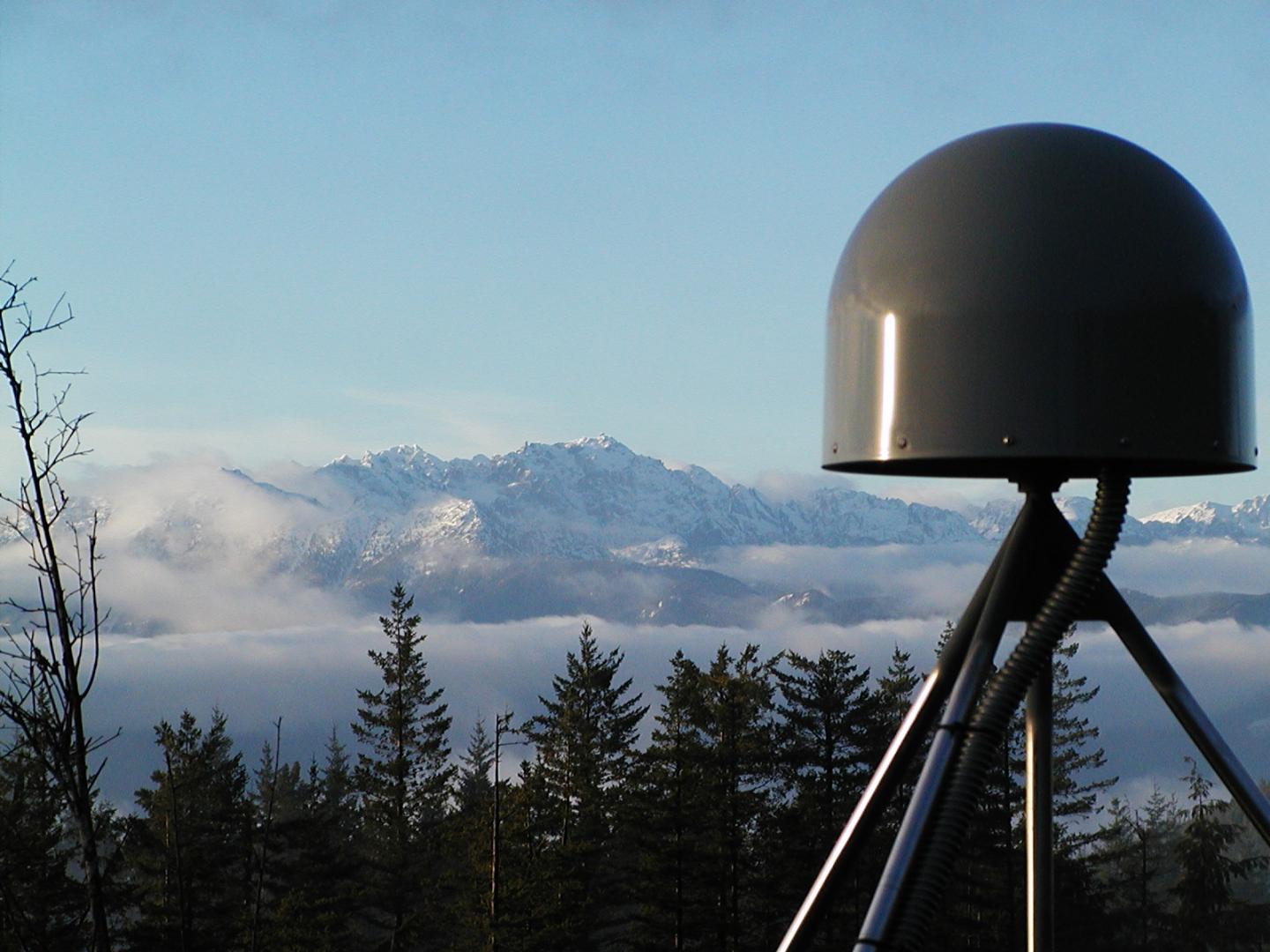
After 15 years of planning and development, the ShakeAlert earthquake early warning system is now available to more […]

Tracing Location Contact tracing can help stem the spread of the COVID-19 pandemic. It involves tracking the movement […]
Following successful test flights, Insitu’s ScanEagle helps combat Oregon wildfire. UAV company Insitu and Esri have successfully completed test flights on a […]
A total solar eclipse will cross the United States from coast to coast on Monday, Aug. 21 […]

The Oregon Department of Transportation (ODOT) is embracing the growing trend in highway construction to go “stakeless” and […]
Follow Us