LidarSwiss deploys Cepton lidar, Applanix IMU/GNSS for high-fidelity mapping
October 31, 2022
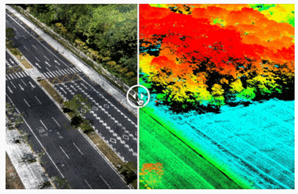
Cepton Inc. is working with LidarSwiss Solutions GmbH to deploy its lidar technology in a drone-based mapping and […]
Read More
Cepton Inc. is working with LidarSwiss Solutions GmbH to deploy its lidar technology in a drone-based mapping and […]


Follow Us