
Drones key to Hurricane Ian response
November 16, 2022
Not to harp on an event that’s already passed out of the headlines and national coverage, but Hurricane […]
Read More
Not to harp on an event that’s already passed out of the headlines and national coverage, but Hurricane […]
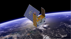
A new GNSS radio-occultation (RO) satellite is now in orbit. The GNOMES-3 — GNSS Navigation and Occultation Measurement […]
Applanix, a Trimble Company, and the National Oceanic and Atmospheric Administration (NOAA) have collaborated to provide critical information […]
Raytheon Company and the National Oceanic and Atmospheric Administration received Aviation Week magazine’s Laureate Award for using the […]
Free and rapid imagery was provided through the USGS Hazard Data Distribution System. The calls for assistance started […]

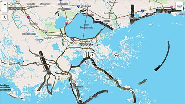
Esri is providing a continuously updated hurricane map that shows the projected paths, storm surge, weather warnings and precipitation […]
CoreLogic has introduced wind verification technology that will improve the accuracy and timing of insurance claims related to severe […]
CoreLogic — a global property information, analytics and data-enabled services provider — has released its 2014 storm surge analysis featuring […]


Follow Us