
Google Maps APIs help map environmental information
August 30, 2023
Google has released three Google Maps application programming interfaces (APIs) for developers to map solar potential, air quality and pollen levels.
Read More
Google has released three Google Maps application programming interfaces (APIs) for developers to map solar potential, air quality and pollen levels.
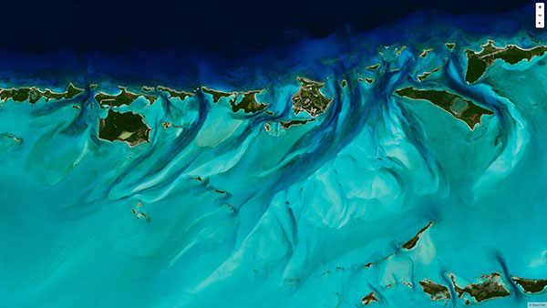
MapTiler has created a single image of the entire world detailed enough to find a specific house. If […]

“Seen & Heard” is a monthly feature of GPS World magazine, traveling the world to capture interesting and […]

“Connect your compatible smartphone to the center display to access select apps, your calendar and playlists or navigate […]

AT&T’s Fleet Complete, a North American provider of fleet telematics and mobile workforce technology, has upgraded its browser-based […]

Reasons Cited Include Privacy, Lack of Retail Support
Google Here, a proposed beacon-based location service operating within Google Maps, was reportedly cancelled due to a concern by Alphabet CEO Larry Page’s that it would be too invasive by the users of his mapping service. When the location industry has such a dominant player pull out of a nascent, and potentially lucrative, proximity service, does it mean that consumers will now have to wait for a full-scale rollout? Google will remain a major player with its Google Maps app, but where does it go from there?
I’ve spent the past couple of weeks running around in Europe working on some GIS and GNSS projects. […]
New imagery of the highest canopy in the Amazon rainforest is now available on Google Maps. The Amazon […]


Follow Us