
Launchpad: Rescue beacon, satellite imagery, z-axis positioning
November 10, 2022
A roundup of recent products in the GNSS and inertial positioning industry from the November 2022 issue of GPS World magazine.
Read More
A roundup of recent products in the GNSS and inertial positioning industry from the November 2022 issue of GPS World magazine.

NextNav is partnering with CentralSquare Technologies, a public-sector technology company, to integrate z-axis vertical location capabilities into its […]
The U.S. Department of Transportation’s Federal Aviation Administration (FAA) has awarded $2.7 million to support research on how […]
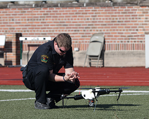
WingXpand has debuted a 7-foot expandable-wing drone that fits in a backpack. The drone was first revealed to […]

We all need to be careful that the numbers we are throwing around to support our case aren’t […]
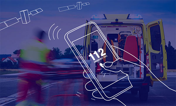
As of March 17, all smartphones sold in the European Union must be leveraging Galileo signals in addition […]

Syntony GNSS has joined TCCA, a global representative body for the critical communications ecosystem. With offices in France, […]

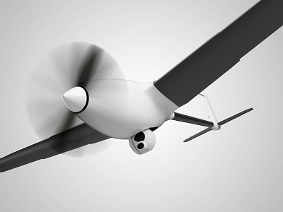
Dutch company Avy has launched its Drone Response Network, combining docking stations with autonomous aircraft that have vertical […]


Follow Us