TAG: earthquake

Photo: AnnaFrajtova/iStock / Getty Images Plus/Getty Images

The surveyor and augmented reality – ready for the future

September 1, 2021

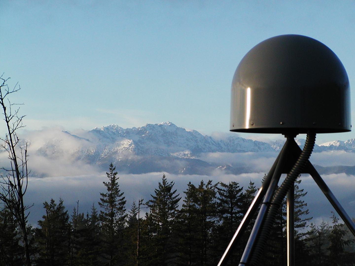
A GNSS station in the Pacific Northwest geodetic array. (Photo: Central Washington University)

US West Coast now has access to GNSS-powered ShakeAlert app

May 12, 2021

This article is tagged with , , , , , , , and posted in Latest News, Mobile
Image: BlackJack3D/E+/Getty Images

Seen + Heard: Quantum entanglement, robot dog, reversing earthquakes

May 26, 2020

Indian Ocean (Jan. 2, 2005): A village near the coast of Sumatra lays in ruin after the Tsunami that struck South East Asia. (Photo: U.S. Navy/Photographer's Mate 2nd Class Philip A. McDaniel)

GPS data help warn of rare tsunamis

March 6, 2020

In February 2016, the USGS rolled out the second-generation ShakeAlert Earthquake Early Warning test system in California. The diagram shows how the system would operate. (Image: USGS)

Early earthquake warnings: GNSS could enable 10-second alerts

July 31, 2019

Indian Ocean (Jan. 2, 2005): A village near the coast of Sumatra lays in ruin after the Tsunami that struck South East Asia. (Photo: U.S. Navy/Photographer's Mate 2nd Class Philip A. McDaniel)

The surveyor’s role when natural disaster strikes

September 5, 2018

Image: GPS World

GNSS earthquake early-warning tested in Chile

February 6, 2018

Fugro's LADS technology is being deployed following the Nov. 14 New Zealand earthquake.

Fugro’s airborne tech surveying after New Zealand earthquake

December 8, 2016