
Bluesky 3D building models aid designs for London residences
September 22, 2020
London building-design agency DCSK is using 3D building models from Bluesky to inform the design of high-profile urban […]
Read More
London building-design agency DCSK is using 3D building models from Bluesky to inform the design of high-profile urban […]
RedTail Lidar System’s RTL-400 delivers the trifecta Summer is here, and with it comes the challenge of creating […]

The mysterious and fascinating Kame of Isbister is situated in Shetland’s north mainland near the North Roe. The […]
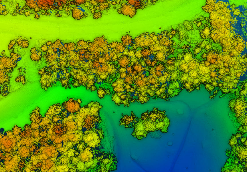
SimActive has updated its Correlator3D end-to-end photogrammetry software to include tools for users to generate precise statistics on […]

SimActive Inc., a developer of photogrammetry software, is offering a new free data-processing service using Correlator3D. New users […]


Follow Us