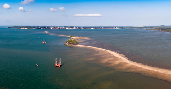
Fugro delivers seabed geodata, employs wind lidar buoys
October 27, 2021
Fugro has completed a geotechnical site characterization project for DRA Global as part of the proposed expansion of […]
Read More

Fugro has completed a geotechnical site characterization project for DRA Global as part of the proposed expansion of […]

A European megaproject is relying on GNSS to guide supportive earthworks during construction. The Fehmarn Belt Fixed Link […]

A testbed in an active urban center can show real-world effects on GNSS as an aid for developing […]

The Fehmarnbelt Positioning System between Denmark and Germany includes a geodetic basis, four permanent GNSS stations, and a real-time kinematic (RTK) service for construction of a road and rail causeway between the islands of Fehmarn, Germany, and Lolland, Denmark across the Fehmarnbelt, a 20-kilometer stretch of open water in the Baltic Sea. This homogeneous,
consistent, coherent, highly accurate GNSS-based positioning system exemplifies comparable systems and services that can be established for any major construction site or infrastructure project. Now in use for environmental, geotechnical, and geophysical investigations, it provides cost-efficient operations and facilitates the precise navigation of large, costly offshore equipment.
Follow Us