Launchpad: Government drone, data collectors
November 1, 2020
A roundup of recent products in the GNSS and inertial positioning industry from the November 2020 issue of […]
Read More
A roundup of recent products in the GNSS and inertial positioning industry from the November 2020 issue of […]
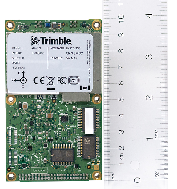
Applanix, a Trimble company, has introduced the Trimble AP+ Air OEM solution for direct georeferencing of airborne sensor […]
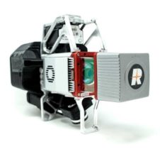
GeoCue Group has released the True View 615 and True View 620 UAS lidar 3D imaging systems. The […]
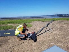
Based in Bristol, AG Surveys has been collecting topographic beach surveys around the country as part of England’s […]
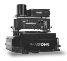
Phase One Industrial has launched a 280-megapixel aerial photogrammetric system, with an image coverage width of more than […]

YellowScan has launched a new lidar system, the Surveyor Ultra. It integrates the Velodyne VLP-32C scanner and the […]
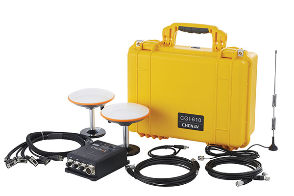
Applanix, a Trimble Company, has introduced its Autonomy Development Platform to provide automakers, truck makers and Tier 1 […]
The Think 3D Stormbee multicopter integrated with Trimble’s AP15 provides efficiency, accuracy and performance for lidar surveys from unmanned vehicles. Historically, […]


Follow Us