AEC firms use aerial mapping to share infrastructure funding
March 10, 2022
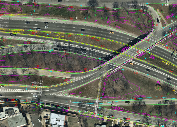
Aerial mapping provides a competitive advantage for AEC companies to win their fair share of the $17 billion infrastructure bill.
Read More
Aerial mapping provides a competitive advantage for AEC companies to win their fair share of the $17 billion infrastructure bill.
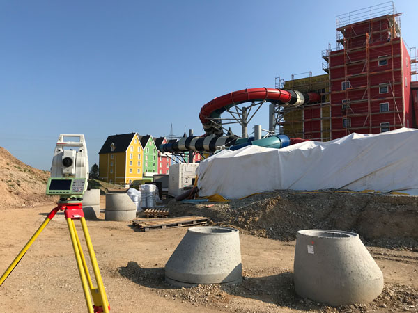
An integrated total solution is important for AEC surveyors who must decide not only which technology to use, but how to process data from different technologies together.
Aerial mapping provides a competitive advantage for AEC companies to win their fair share of the $17 billion infrastructure bill.

The tight integration of GNSS, inertial systems, lidar sensors and 360° spherical imagery into mobile mapping systems makes 3D modeling possible and traditional GNSS or optical measurement instruments obsolete.
A major geospatial conference encompassing previous annual conferences is scheduled for 2022. The AEC Next Technology Expo & […]

Driven by COVID-19, the uptick in adoption supports collaboration among remote workers as businesses adapt. The Trimble Connect […]
U.S. CAD is working with Pointfuse to help shape the future of point cloud processing software. This collaboration […]

Trimble has signed a definitive agreement to acquire privately held Azteca Systems LLC (Cityworks), a provider of enterprise […]


Follow Us