Quectel releases GNSS module LC29H with RTK and dead reckoning

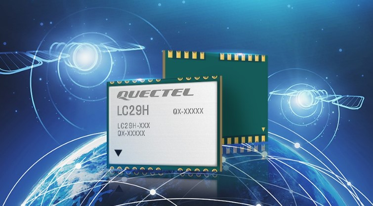
Photo: Quectel
Quectel Wireless Solutions has released the LC29H, a dual-band multi-constellation GNSS module. Built using the Airoha AG3335 platform, the LC29H is available in multiple variants and optionally integrates real-time kinematic (RTK) and dead reckoning.
The LC29H series offers high performance with power efficiency to meet the market needs of high-precision positioning at the centimeter and decimeter levels. The modules are suited to an expanding market for autonomous lawn mowers, drones, precision agriculture, micro-mobility scooters and delivery robots as well as other industrial and autonomous applications.
“High-precision positioning with centimeter-level accuracy is becoming increasingly vital for many new IoT [internet of things] applications,” said Patrick Qian, Quectel CEO. “Robotics, UAV and industrial applications needing precise navigation are driving new market requirements, and we are very excited to launch our newest generation of high-precision positioning modules.”
The LC29H concurrently receives and processes signals from GPS, GLONASS, BeiDou, Galileo and QZSS. The module supports L1 and L5 dual-band signal reception, speeding up convergence time, improving positioning accuracy, and achieving fast response times even when signals are interrupted. The dual-band design significantly mitigates the multipath effect experienced near high-rise buildings or in deep urban canyons, and provides reliable positioning performance, Quectel stated.
In addition, some versions of the LC29H contain a six-axis inertial measurement unit (with three-axis accelerometer and three-axis gyroscope) and integrate RTK and dead-reckoning positioning algorithms, allowing for continuous lane-level positioning where the satellite signal is partially or completely blocked, such as underground parking lots, tunnels, urban-canyons or forests. When the satellite signal is reacquired, the LC29H combines inertial sensor data with GNSS signals, and the integrated navigation can provide fast convergence times and decimeter level positioning accuracies.
The LC29H is available in variants, each targeting different application scenarios. The LC29H(EA) is aimed at the growing market of agricultural drones as well as electricity power detection terminals, and can improve the anti-interference capability of complex systems. The LC29H(BA) is well suited to agricultural machinery and specialized vehicles, and the LC29H(DA) can enable centimeter-level accuracy in connected lawnmowers and safety helmets.


About the Author: Tracy Cozzens
Senior Editor Tracy Cozzens joined GPS World magazine in 2006. She also is editor of GPS World’s newsletters and the sister website Geospatial Solutions. She has worked in government, for non-profits, and in corporate communications, editing a variety of publications for audiences ranging from federal government contractors to teachers.


Subscribe to GPS World
If you enjoyed this article, subscribe to GPS World to receive more articles just like it.


Follow Us