Great funding opportunity to support geodesy: March 22 deadline!

In July 2020, my First Fix article discussed the Geodesy Crisis in the United States. In January 2022, Mike Bevis, collaborating with others, prepared a white paper titled “The Geodesy Crisis,” documenting the concern about the lack of trained geodesists in the United States. Since then, my November 2022 survey scene column highlighted that without investment in geodesy, the United States will not have the available skills and knowledge to develop new geodetic technologies and improve models to address challenges to society. In December 2022, Matteo Luccio discussed the urgent need for U.S. geodesists with Everett Hinkley, who works for the federal government, serves as a subject-matter expert on several high-level boards, and dubs himself a “concerned citizen geodesist.”
Well, things are starting to happen. NGS is soliciting grant proposals from eligible organizations to implement activities that modernize and improve the National Spatial Reference System (NSRS) and advance the science of geodesy in the United States. See the image below.
I realize that this is very short notice, but all Letters of Intent (LOIs) must be received no later than Wednesday, March 22, 2023. Full proposals do not have to be completed until April 24, 2023. The grant information and related material can be found here.
This is a great opportunity for institutions of higher education, state, local and Indian tribal governments to partner with industry and private consultants to advance the science of geodesy.
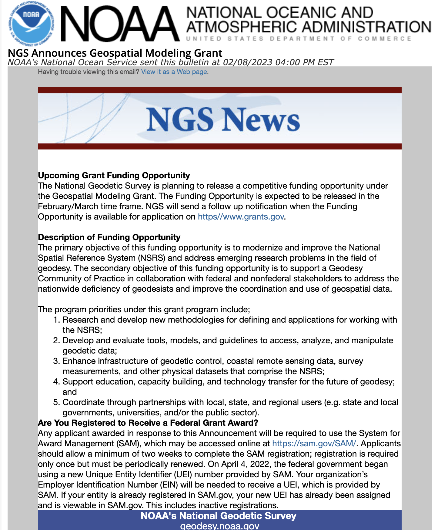
Image: NGS Website
NGS Geospatial Grant Opportunity: https://content.govdelivery.com.


About the Author: David B. Zilkoski
David B. Zilkoski has worked in the fields of geodesy and surveying for more than 40 years. He was employed by National Geodetic Survey (NGS) from 1974 to 2009. He served as NGS director from October 2005 to January 2009. During his career with NGS, he conducted applied GPS research to evaluate and develop guidelines for using new technology to generate geospatial products. Based on instrument testing, he developed and verified new specifications and procedures to estimate classically derived, as well as GPS-derived, orthometric heights. Now retired from government service, as a consultant he provides technical guidance on GNSS surveys; computes crustal movement rates using GPS and leveling data; and leads training sessions on guidelines for estimating GPS-derived heights, procedures for performing leveling network adjustments, the use of ArcGIS for analyses of adjustment data and results, and the proper procedures to follow when estimating crustal movement rates using geodetic leveling data. Contact him at dzilkoski@gpsworld.com.


Subscribe to GPS World
If you enjoyed this article, subscribe to GPS World to receive more articles just like it.


Follow Us