Charting uncharted waters: Bathymetry in action
February 14, 2024
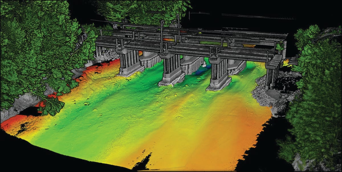
In this feature, SBG Systems, CHC Navigation (CHCNAV) and Advanced Navigation describe how they used modern hydrographic surveying to aid defense departments, produce 3D topographic maps and analyze depth.
Read More


Follow Us